A set of new eyes to detect oil spills in harbours and coastal areas
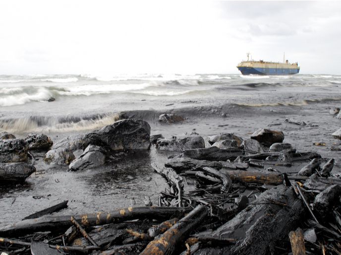
When will the days of illegal tanker discharges and accidental oil spills damaging seas and oceans finally be behind us? Judging by recent events – we could mention the Mauritius oil spill in early 2020 or, as recently as February 2021, the one faced by Israel when it found 90 % of its 190 km long Mediterranean coastline covered in tar – there is little reason to be optimistic. But maybe the use of new technologies such as Earth Observation (EO) satellites and remotely operated monitoring vehicles could soon turn the tide. Traditionally, authorities wanting to monitor oil spills have had to resort to on-site monitoring using aircraft and ship surveillance. But these methods are far from ideal. Beyond the few events covered in mainstream media, experts estimate the amount of oil spilled annually worldwide to be over 4.5 million tons. According to Ioannis Dontas, senior consultant at Aratos.Net Ltd, a subsidiary of the Aratos Group, failure to detect these events in due time is usually due to delays between discharge and detection, poor weather conditions preventing overflights and limited resources. But technology has evolved considerably over the past few years. Synthetic-aperture radar (SAR) images have been used to monitor open ocean waters, wastewaters and oil spills. Even better, they can now be combined with optical images from EO satellites such as the Copernicus Sentinels. Remotely operated vehicles are another emerging technology that can be used in multiple marine environments, supporting risk mapping and alert systems. But to date, these solutions have never been combined to meet the needs of harbours and coastal areas. “There is an obvious need for an integrated solution,” says Dontas, who’s also the coordinator of the project IMPRESSIVE (Integrated Marine Pollution Risk assessment and Emergency management Support Service In ports and coastal enVironmEnts). “One that would provide port authorities, competent administrations and the maritime industry with constant monitoring and control around ports.”
A fully automated solution
IMPRESSIVE’s main innovation is the use of data from EO satellites and remotely operated vehicles to monitor harbours. “Our autonomous surface vehicles (ASVs) and unmanned aerial vehicles (UAVs) provide a sharper and cheaper alternative approach to the traditional use of boats to monitor water quality and sources of pollution. In addition to these, we have developed a platform that gathers and fuses data acquired from multiple EO satellite platforms, air and sea-level sensors, as well as a full set of downscaled hydrodynamic models based on CMEMS products,” Dontas explains. With this unique combination, the project team can produce near real-time data on an area of interest, and also do so in a fully automated process. The IMPRESSIVE platform provides maps, statistics, GeoAnalytics and alerts on the monitored area. Users can browse, display and further analyse these products as well as request additional ones. Three pilots are foreseen to demonstrate the technology. At the Rafina Port in Greece, the project team used relevant satellite data to evaluate IMPRESSIVE’s hydrodynamic models and the first operational version of the platform. At the Taranto port in Italy, they are combining this EO data with the use of the project’s UAV for air-based monitoring. The third and final pilot will be set in Puerto de la Luz in the Canary Islands. It will combine all sources of data and technical means developed under the project. The second and third pilots have been delayed due to the COVID-19 pandemic, but the team was able to conduct preliminary tests of oil spill and wastewater detection and alert modules. “These were shown to work very well, with a total of 281 Sentinel-1 SAR acquisitions since June 2020,” Dontas adds. Once IMPRESSIVE completes its objectives, it will undoubtedly be of high commercial appeal to harbours usually resorting to manned boats and sampling stations operating from fixed positions. “To the best of our knowledge, there is no European harbour or port with this set of tools. Although our solution will be developed and tested in European settings, the system will be exportable to harbours and coastal areas all over the world. We aspire to a global market, and its potential is enormous,” Dontas concludes.
Keywords
IMPRESSIVE, oil spill, harbour, coastal area, pollution, monitoring, Earth Observation, Copernicus, ASV, UAV