International collaboration over geohazards
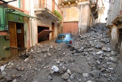
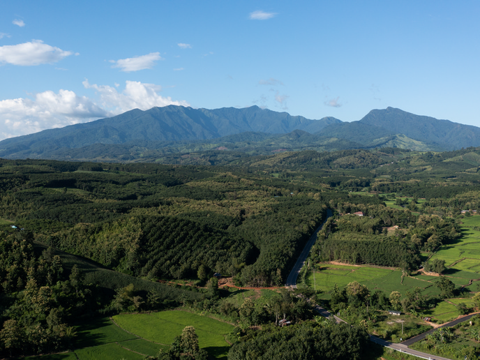
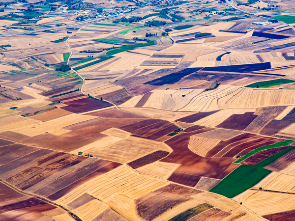
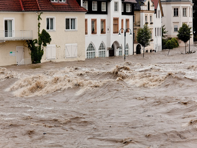
The aim of the GEO (Geohazards and geomechanics) project was to bring together world class research groups engaged in assessing, preventing and mitigating geohazards. Floods, landslides and earthquakes were mainly studied, as well as the effect of climate change and human activity on soil degradation. Project partners sought to improve understanding of why flood defences failed and to improve models of areas prone to flooding. They also investigated the geomechanical conditions leading to the onset of landslides, modelling debris flows and mud flows to estimate the destructive power of the landslide materials. A unified bond contact model based on micro-mechanical test data was developed for determining rock slope instability. The model was implemented using a distinct element method (DEM) code to analyse the time dependent behaviour of weathered rocks and jointed rock failure due to weathering. The code was used to conducting numerical simulations, including compression and tension tests. The validated model was then used to simulate crack propagation and rock fracture and then compared with experimental observations. The role of internal shearing in compound landslides was also studied using material point method (MPM) to simulate landslides. Researchers also developed a quantitative mapping method for determining the lateral spread hazard associated with earthquake induced liquefaction and considered all possible earthquakes occurring at a site. The effectiveness of the models and procedure was demonstrated through the use of case studies. New numerical tools were developed for analysing potential failures and submarine landslides triggered by the exploitation of methane hydrate bearing sediments (MHBS) in deep water seabeds. In addition, a new thermal-hydro-mechanical coupled bond contact model of MHBS was created based on micromechanical tests. GEO not only brought together world class scientists, it also trained early stage researchers. As such, it improved the current standards and codes ruling geo hazards and generated new approaches to resolve research challenges.