Enhanced satellite images extend precision agriculture

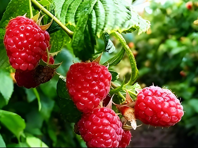
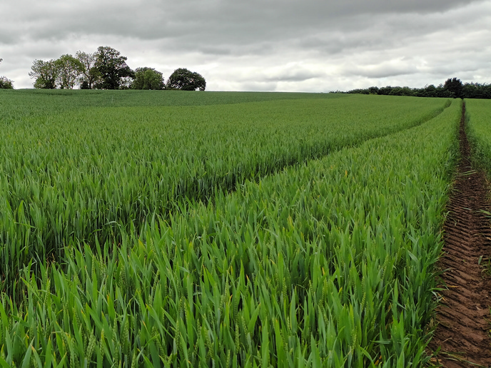
Precision agriculture (PA) uses satellite imagery to manage farms with a high degree of accuracy. A key development in PA is the EU’s Copernicus programme for Earth observation (EO), whose Sentinel satellite missions provide a wealth of information about growing conditions and crop health, which is used to improve agricultural efficiency. Sentinel-1 provides all-weather, day and night radar imaging of land and sea, while Sentinel-2 provides high-resolution optical imaging for land services such as imagery of vegetation and soil water cover. By monitoring crop conditions and soil properties and mapping tillage activities, the satellites can help assess land use, predict harvests, monitor seasonal changes and support the implementation of sustainable development policies. Forecasting key performance variables The AgroRadar(opens in new window) project is developing algorithms and data models to process Copernicus’ EO synthetic aperture radar (SAR) data. The resulting images are more detailed and precise than those from any other PA service in the world. Project coordinator Professor José Rafael Marques da Silva explains: ‘SAR imagery is obtained through a SAR active sensor that sends a specific electromagnetic radiation to the Earth and reads the electromagnetic radiation that comes back, providing information about the Earth surface and crops.’ The images produced by AgroRadar enable farmers to forecast key agronomic performance variables. They are used to improve the application of fertilisers as well as the detection of crop anomalies due to soil, water, pests, disease and other factors. According to Professor Marques da Silva, ‘The images can also be used to forecast crop trends and foresee agronomic best practice as well as potential economic issues, in order to improve farmers’ return on their investment.’ An all-weather solution SAR imagery has an advantage over optical data as it is not affected by clouds or fog. This allows full use of the 5-day imaging timeframe available through the Copernicus Sentinel satellites and the creation of weekly reports for end users such as farmers, who need to take management decisions on a week-by-week basis. ‘SAR imagery, although technically more complex, can be correlated with optical imagery to create exciting new applications for agricultural management,’ says Professor Marques da Silva. In addition, SAR data can be used to solve specific issues that cannot be tackled using normal optical satellite data, such as the estimation of biomass under forest canopy for the production of fire maps. Other examples include estimating the yield of shaded coffee and tomato crops, and precise yield calculations for rice, vineyards and olive groves. It can also help to identify over-watered areas and leaks, and map water-based plants and eutrophication. Increased PA services Besides using remote sensors, AgroRadar will also benefit farmers in the near future by integrating data from proximal sensors (like those used in the Internet of Things) with other agricultural data, such as for soil, plants, water, pests and fertilisers. By applying this Big Data approach, which combines both human and artificial intelligence, farmers will be able to maximise crop yields and quality while protecting the natural environment. Agricultural maps produced from the data will also enable independent estimates of cultivation in any given country, which can help efforts to ensure food security in vulnerable areas. AgroRadar therefore goes beyond current PA services by providing low-cost solutions to small and medium-sized farms, new services to asset owners (such as banks and insurance companies) and to government agencies for use in fire prevention and controlling subsidies.