New technique sheds light on the above ground biomass of tropical rainforests
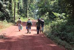
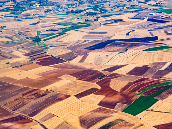
A Brazilian scientist, working with a research team at Leicester University in the UK, has developed a way of combining satellite data with information on the shape of the landscape to improve our knowledge of the structure and floristics of the Amazonian rainforest. As part of the MF RADAR project, Marie Skłodowska-Curie fellow Polyanna da Conceição Bispo has used the method to map and quantify different variables of structure and species composition of the Tapajós National Forest in Northern Brazil. This new information improves the uncertainty in estimations of variables that were previously hard to map and will be of interest to other scientists who study the carbon cycle in tropical regions. “The Amazon can be seen as the lungs of the world because it generates a lot of oxygen and is very important for the global water cycle,” says Heiko Balzter, MF-RADAR project co-ordinator and professor of physical geography at Leicester University, “but while the Amazon has been mapped for a long time, we still don’t know how much biomass is stored in the trees so we don’t know how much carbon they stock.” Integrating is innovative MF-RADAR brings together geomorphometry, or the science of quantitative land-surface analysis, with satellite remote sensing techniques from Synthetic Aperture Radar or SAR in an integrated fashion, which is highly innovative. In order to do so, Dr Bispo worked intensively on SAR and Light Detection and Ranging image processing as well as integrating datasets on the Amazonian rainforest from multi-frequency radar in the X, C and L bands. Her two-year fellowship included leading fieldwork in Tapajós and undertaking secondments at the European Space Agency, the German Aerospace Center and Oxford University. During this time, she built a network for knowledge sharing which continues to benefit the 25-plus researchers of Leicester University’s Centre for Landscape and Climate Research group to this day. Her achievements include exploring to what extent forest attributes – especially abundance, richness and above ground biomass – are determined by spatial or environmental factors, in this case represented by geomorphometry. Biomass and topography “We found that even in areas with not too much variation of terrain, 27 % of the distribution of above ground biomass in tropical forests can be explained by geomorphometric factors and 15 % by spatial and geomorphometric factors together so topography can explain a big percentage of its distribution. Tropical forests are really complex and other factors such as soil, precipitation, temperature can play an important role in the forest structure and floristic distribution too,” she said, adding that this was the first time a scientist has used this integrated method in order to explore these variables. Integrating geomorphometry with SAR multifrequency data allowed Dr Bispo to shed new light on the distribution of different forest structure attributes including basal area, diameter at breast height and above ground biomass as well as forest species composition. The MF-RADAR team published several “articles on some of our findings on the relation between topography and floristics – which group or community of plants you find where – and what the relationship is between the abundance, richness and species composition of the forest and its topography,” says Dr Bispo. Demonstrating and validating this integrated approach will open up plenty of new avenues for scientists to explore, Dr Bispo believes. “I think that multi-frequency integration will surely continue especially seeing as we will be seeing a lot of new missions and datasets, such as TanDEM-L and the BIOMASS SAR, which will allow us to get information from the biomass,” she says.