FLAMINGO brings higher global navigation positioning accuracy to the palm of your hand
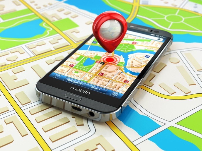
Nearly every new smartphone device is equipped with a Galileo-enabled chip. However, the underlying accuracy of these consumer-grade GNSS(opens in new window) receivers has barely increased over the last few years. The latest satellite clocks, orbits and tropospheric and ionospheric models have brought ranging accuracy to a few metres, leaving multipath propagation as the main source of error in current consumer devices. Under good multipath conditions, the typical positioning accuracy is 5 to 10 metres. With multipath propagation, GNSS signals may be reflected by buildings or walls; the reflected signals can interfere with the signals received directly from the satellites. This common phenomenon blocks line-of-sight propagation, attenuating or completely masking the signals from the satellites and accuracy further degrades. “While mass-market receivers have not yet achieved positioning accuracies below a few metres, a number of recent technology triggers are setting the stage for this. These mainly include the improved ability to access data from chipsets via the application programming interfaces within the smartphone's operating system, and dual-frequency GNSS smartphones that have recently hit the market,” explains William Roberts, coordinator of the EU-funded FLAMINGO(opens in new window) project.
GNSS raw measurements
In August 2016, Google released an Android operating system that made GNSS raw measurements available to smartphone users for the first time. Users gained access to a range of advanced GNSS processing techniques that had previously been restricted to more professional GNSS receivers. Over the next year, the European GNSS Agency(opens in new window) set up a task force to share knowledge and expertise on Android raw measurements and their use. The main outcome was the White Paper(opens in new window) with which the task force promotes the use of GNSS raw measurements in mass market.
High-accuracy positioning and navigation services for the mass market
FLAMINGO demonstrated the power of GNSS raw measurements and Galileo's dual-frequency signal by developing and showcasing ready-to-market applications on both smartphone and Internet of Things devices. “We are using the GNSS raw measurements that Google are providing at their API level 24 onwards to provide high-accuracy services directly onto a standard smartphone. There are data services behind it, but essentially a smartphone user can get down to about 50-cm accuracy,” notes Roberts. Researchers utilised many GNSS assets to improve the positioning services – the ability to handle multiple frequencies from multiple GNSS constellations, use of precise point positioning(opens in new window) and real-time kinematic(opens in new window). Chipset vendors such as Broadcom, Qualcomm, Intel, Sony and others have achieved notable progress in increasing the capability of the GNSS chipsets to include multiple GNSS satellite constellations and multiple signal frequencies. These chipsets are present in the latest smartphones. “To massively enter the market and be integrated into upcoming lower-end smartphone devices, there needs to be a device churn,” adds Roberts. “The limiting factor is the smartphone itself; it is a ‘nasty’ environment for embedding a GNSS chipset receiver due to the internal electrical interferences caused by nearby components.” High-accuracy positioning for mass-market devices is still in its early days. A smartphone is not a dedicated GNSS satellite navigation device, but as it can provide positioning accuracy to the level of centimetres, it is a useful tool that opens up a host of fairly interesting markets, from mHealth(opens in new window) to connected and autonomous vehicles, smart parking, infrastructure monitoring, drone and augmented reality-type applications.