Improved tracking by drone swarms helps keep us safe

Unmanned aerial vehicles(opens in new window) (UAVs) can sense their environment, exchange information with other UAVs within the network and locate their position to reconstruct a map of their surroundings. Moreover, UAVs carrying radiofrequency sensors are more flexible and reconfigurable than traditional (fixed) on-ground sensors as they can easily change their positions over time. Thus, they can always maintain a reliable communication link with other UAVs or targets and avoid obstacles that obscure their line of sight. During a fire, for example, UAVs can provide a temporary positioning infrastructure for first responders and assess the status of a building. They can enter smoke-filled structures to map the indoor environment and track firefighters and others inside. UAVs can also form a network to act as a cooperative radar system for real-time high-accuracy tracking of un-authorised ‘malicious’ UAVs. The network can estimate the Doppler signature(opens in new window), a feature of the return signal that comes from the UAV propellers, enabling it to discern between UAVs and other flying objects and birds. This can help prevent terrorist attacks by small unauthorised UAVs that are barely detectable using conventional terrestrial radar.
New sensing network
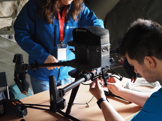
The EU-funded AirSens(opens in new window) project developed swarm intelligence(opens in new window) algorithms and data processing techniques enabling UAVs to conduct highly accurate tracking and environmental sensing in indoor and outdoor environments. This research was undertaken with the support of the Marie Skłodowska-Curie Actions programme. AirSens initially verified the UAVs’ ability to form a new radar network that supports the terrestrial network for monitoring the surroundings. “The processing is distributed across the UAV network: each UAV can be considered as a collaborative and autonomous agent. To limit battery consumption during the flight, UAVs communicate only with their closest neighbours,” comments research fellow Anna Guerra. Using millimetre-wave multi-antenna radars employing a frequency range between 30 GHz and 300 GHz enables a large number of antennas to be fitted into the confined space of a UAV. “The resulting fine angular resolution and the wide signal bandwidth permit a centimetre-level degree of localisation accuracy even when using a single UAV radar,” Guerra explains.
A wide range of applications
Another important aspect of the project involved investigating the swarms’ mapping capabilities to enable UAVs to avoid obstacles and buildings blocking their line of sight. Researchers also explored how to control the UAV swarm by developing ‘information-seeking’ algorithms that ‘seek’ UAV trajectories to maximise the accuracy of their positioning. “AirSens brings together this need for integration, autonomy and intelligence of UAVs,” notes Guerra. The swarm can be helpful for investigating unknown and/or dangerous environments such as mining operations and rescuing human beings following a fire, accident or natural disaster. Furthermore, the same algorithms that were originally developed for target tracking and navigation can be readapted to sense dangerous pollution particles and to monitor overall air quality. AirSens also provides solutions for innovative industrial services contributing to Europe’s competitiveness and growth. “They form the basis for future initiatives, such as investigating the performance of UAV 3D networks for joint communication and sensing in the next generation of 6G(opens in new window) cellular systems,” Guerra says.