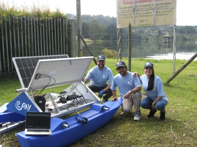
Platform offers Earth observation data services to monitor coastal water
Coastal waters face a range of challenges including tourism, pollution and overfishing. But perhaps the biggest challenges come from climate change, which can, for example, alter water temperature and water run-off patterns. These impact the amount of nutrients entering the coastal ecosystem. Nutrients trigger algae blooms(opens in new window), which provide food for marine life. But too many nutrients can change the ecosystem. This, and changes in temperature can also lead to blooms of potentially toxic species. Monitoring coastal conditions usually involves sampling for laboratory analysis. While this yields much information about the sampling site, such point measurements can miss developments in other areas. Earth Observation (EO) offers insights into the whole coastal zone, but while Copernicus(opens in new window) core services provide EO-based coastal maps, this information is usually too generic for users. Most coastal observers need data calibrated specifically for their area, in fine detail and often close to the coast. In response, the EU-funded CoastObs project developed a portfolio of services available through their CoastObs platform(opens in new window) which allows users to view products and maps for their area of interest based on the latest EO data from the EU’s Copernicus sentinel satellites. “We created a platform as many users were unfamiliar with EO data and so not ready to have data streamed directly into their databases,” explains project coordinator Annelies Hommersom from Water Insight, the Dutch project host. “Our tailored products and services are already commercially available, and if users request additional products or scientific validation, this can also be arranged through our project partners.”
Developing user-relevant products
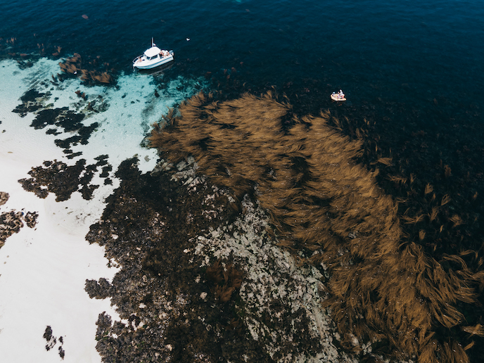
To gather user requirements, and for the development of use cases, CoastObs worked with over 20 users from water authorities, aquaculture firms and a harbour authority, amongst others. In the Netherlands, using EO data, a mussel growth model was developed for shellfish farmers to select the most productive plots and estimate the best harvest time. In France, a method to map intertidal seagrass was developed using high-resolution EO data. This allows researchers and environmental managers to monitor seagrass coverage and density, the extent of the whole meadow and its ecological status. Also in France, the morphology of the Loire estuary turbid plume was analysed with a time-series of satellite images to investigate the influence of dredging activities. Recommendations were provided to avoid dredging and dumping during specific periods, which is ‘risky’ for the estuarine ecosystems. In Spain, two indicators for harmful algae species, Alexandrium(opens in new window) and Pseudo-nitzschia(opens in new window), were developed based on a combination of EO data and modelling. These maps allow shellfish farmers to take mitigation measures, for example by harvesting slightly earlier.
Monitoring water quality for aquaculture and water management
The use cases resulted in three service types: monitoring and early warning, environmental reporting and historic analysis – totalling 12 products. Services included the monitoring of seagrass and macroalgae, phytoplankton size classes, primary production and harmful algae. “The project advanced from being technology promotion-led, to being user-driven. Users wanted more data, longer periods and larger areas, which is a very positive sign,” says Hommersom. An important addition was the development of e-learning modules(opens in new window), helping the users to interpret the data and understand its uses. With the results published in 10 scientific articles(opens in new window) and nine professional publications, alongside some local and national newspapers(opens in new window) (website in Spanish) and TV(opens in new window) (at 1:05, in French) coverage, the project estimates it has showcased its work to over 400 000 people. Additionally, the team wrote a joint white paper(opens in new window) targeting authorities involved in the Water Framework Directive(opens in new window).