What is happening to our drying river networks? A new app helps scientists find out
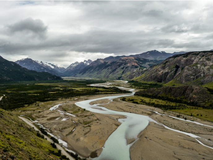
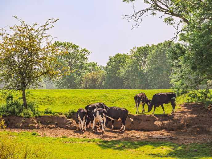
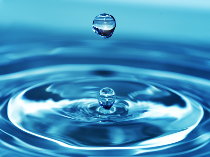
A new app is giving citizens the power to help scientists understand drying river networks. Developed by the EU-funded DRYvER project, the DRYRivERS app enables citizens to map and report drying cases in rivers and streams. Rivers and streams are amongst the most biodiverse ecosystems on the planet. They enhance human well-being by providing food and drinking water and helping to regulate climate. Unfortunately, along with being one of the most biodiverse systems, river networks are also one of the most threatened by human activities. Climate change and growing human water use are causing these rivers and streams to dry up. Experts estimate that over half of the world’s river networks are running dry. Despite this deteriorating situation, scientists and lawmakers have devoted little attention to them. The DRYRivERS app is part of the project’s efforts to develop strategies, tools and guidelines that will mitigate climate change effects on drying river networks and aid their adaptation mechanisms. By collecting, analysing and modelling data from Europe and South America, the researchers aim to create the very first real-time atlas of drying rivers and streams.
Citizen involvement
So what role do citizens play in this effort? “Every smartphone user who enjoys nature and the outdoors can contribute by documenting wet and dry conditions in streams and rivers using the DRYRivERS app,” reports an article(opens in new window) posted on the ‘INRAE’ website. The app can be downloaded from Google Play and will be available on the App Store as soon as the iOS version is completed. As the article explains, the app is open source and easy to use. All a user needs to do is share the location of the river site, take a photo of the site and provide the river’s hydrological conditions. In other words, if water is flowing in the river channel, if there is water that is not flowing but rather present in disconnected standing pools, or if there is no water at all and the channel is totally dry. Users can determine their location with the help of their phone’s global positioning system, or they can locate existing spots on the map. “The app caches all necessary data when it is running with Wi-Fi or mobile internet, so do not worry if you have no network coverage while finding a dry stream,” the article explains. “After you record a new spot, you can simply save it and upload the information later once a network connection is again available.” The data collected through the DRYRivERS app will help to improve scientific predictions of how human activities and climate change will affect river ecosystems in the future. The 4-year DRYvER (Securing biodiversity, functional integrity and ecosystem services in DRYing rivER networks) project ends in August 2024. For more information, please see: DRYvER project website(opens in new window)