Satellite data strengthens Alpine climate modelling
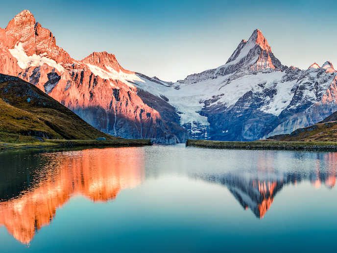
Across the Alps, snow provides vital water resources for ecosystems and agriculture, and creates jobs in sectors such as tourism and skiing. Recording and forecasting snow cover is therefore an important consideration for many sectors. It also provides scientists with critical information on how our climate is changing – and the impact this is having on the natural world. “We know that snow cover in the Alps is already being affected by climate change,” notes CliRSnow(opens in new window) project supervisor Marc Zebisch, head of Eurac Research(opens in new window) in Italy. “We are seeing a shortening of the seasons, which is of course relevant for the ski sector, but is also critical for natural water storage.” Zebisch points out that precipitation will simply run off as water during winter if it’s not cold enough to be stored as snow. This could severely impact agriculture. For example, regions in northern Italy and elsewhere rely heavily on snow melt to irrigate their fields in May and June.
Applying satellite data
The economic and environmental impact of snow loss is therefore a pressing concern. To take appropriate action however, accurate local measurements, short-term forecasts and long-term projections of snow cover are needed. A key challenge here is that existing climate models tend to have poor resolution, and cannot fully capture local specificities – the peaks and valleys say – of a region as large as the Alps. Field monitoring on the other hand can provide detailed data, but only over a small area. The CliRSnow project, undertaken with the support of the Marie Skłodowska-Curie Actions(opens in new window) programme, sought to address this challenge by applying satellite data to existing climate models and field observations. “A key inspiration was to make better use of available high-resolution satellite imagery here at the institute,” explains Marie Skłodowska-Curie fellow Michael Matiu, senior researcher at the Institute for Earth Observation at Eurac. This data, with a high resolution of 250 m, provided Matiu with detailed observational mapping of snow coverage across the Alpine region spanning the past 20 years. He was able to compare this data with climate models.
Models that reflect reality
By comparing high-resolution observational data with low-resolution model data – which in itself was a huge challenge – Matiu was able to see where climate models were unable to capture the reality. Perhaps in a given month or in a given region they predicted too much snow cover, or too little, as borne out by the satellite data. “Models will always get some things wrong,” adds Zebisch. “But that doesn’t mean they aren’t helpful – they might enable us to depict and even predict, for example, relative changes in snow coverage over periods of time. But applying this satellite data enabled us to adjust the models to closer reflect reality, and achieve a higher resolution.” The ‘bias adjustment’ method could lead to better and more accurate snow projections. “Bias adjustment worked well, but this is still in its experimental phase,” says Matiu. “I have a few ideas of how this could be improved, and am currently trying to secure funding for this.” In the meantime, the code(opens in new window) and data sets(opens in new window) used in and produced by CliRSnow are freely available to fellow researchers and scientists on the project website. The hope is that more accurate climate modelling will bring benefits across a range of sectors, from water management and tourism to climate action.