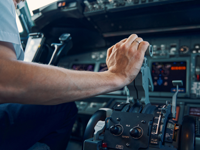
Artificial intelligence plots a safe route through hazardous skies

Natural events such as thunderstorms and volcanic ash clouds present serious safety challenges for the aviation sector. The cost of storm-induced disruption to aviation across Europe was estimated to be EUR 2.2 billion in 2019(opens in new window). In addition, aerosols and gases arising from natural hazards such as forest fires and desert dust can also severely reduce visibility and damage engines. Even space weather – such as the solar wind – can impact aviation by disrupting satellite communication and increasing radiation exposure. “The problem for aviation is not that there is a lack of information on such phenomena, but that this information does not have enough granularity,” explains ALARM(opens in new window) (multi-hAzard monitoring and earLy wARning systeM) project coordinator Manuel Soler from University Carlos III Madrid(opens in new window), Spain. “Air traffic management (ATM) and pilots need more precision. For example, they need to know how high a volcanic plume of ash and SO2(opens in new window) gas is rising. Forecasting large areas where convection (with associated thunderstorm activity) will occur is relatively easy; what is tricky is predicting exactly the development of the thunderstorm itself, in which localised area, such as over an airport, and at what specific time.”
Forecasting the future
The ALARM project was funded within the framework of the SESAR Joint Undertaking(opens in new window), a public-private partnership set up to modernise Europe’s ATM system. It sought to move the aviation sector towards this objective by developing a prototype monitoring and early warning system for various hazards. To achieve this, near real-time data from ground-based and satellite systems was gathered. This highly granular information was then processed and fed into models for identifying the displacement of particles and gases derived from natural hazards, as well as extreme weather situations. “The first step was to provide a kind of snapshot of what is happening,” adds Soler. “For this, we combined data from low Earth orbit and geostationary satellites, to be able to monitor and differentiate particles in the atmosphere. This enabled us to improve the quality of information on volcanic eruptions, sandstorms and forest fires.” The second step was to develop predictive models. Soler and his team wanted to be able to provide the aviation sector with forecasts of between one hour ahead and a day ahead. The goal was to make this data useful: ATM could use these predictive models to make in-flight deviations, or reschedule flights altogether. To achieve this, artificial intelligence (AI) was applied to observational data and historical observations. The project’s prototype AI system ‘learned’ from past localised forecasts and weather observations, in order to be able to better predict the likely evolution of any given natural event. This might be used, for example, to accurately predict the behaviour of a severe thunderstorm over an airport.
Climatic hotspots
Delivering a protype real-time monitoring service, as well as forecasting tools for thunderstorms, volcanic eruptions, dust clouds and space weather, has been a key success of the ALARM project. Illustrative examples have been carried out at airports such as Brussels and Milan Malpensa, and the alert system platform(opens in new window) is freely available to access. The project also broke new ground by focusing on aviation-induced climate change. “In ALARM, we recognised environmental impact as an additional aviation hazard,” remarks Soler. “Studies have shown that CO2 and non-CO2 aviation emissions, such as NOx, water vapour and condensation trails, have a negative impact on climate change.” Numerical weather forecasts along with climate change functions have been used to identify and forecast potential climatic hotspots that should be avoided. This could contribute to limiting aviation’s negative impact on the environment. “We are currently working on indicators such as temperature, humidity, pressure and cloud cover, which could help us to better predict the emergence of climatic hotspots,” says Soler. “Our idea is that aviation traffic management could use this technology to identify hotspots and limit air traffic in that area, in the same way as some cities ban certain cars during times of high pollution.” This technology is still in its infancy, but underlines the ambitions of the ALARM consortium in harnessing the power of AI to improve ATM.