AI traces the human footprint on our planet
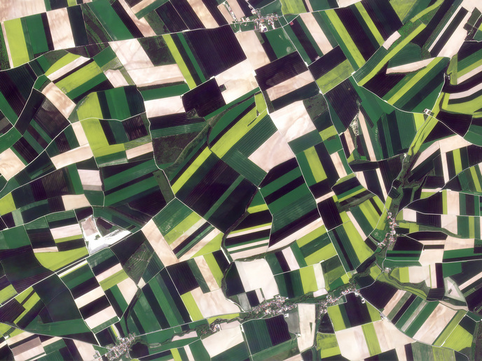
Earth observation data provides information about the Earth's surface, atmosphere, and oceans. It is typically collected from various sources and platforms using remote sensing technologies, such as satellites, aircraft, drones, and ground-based sensors. Earth observation data plays a crucial role in understanding and monitoring the Earth's environment, weather, climate change, and land use. To meet the United Nations Sustainable Development Goals (SDGs) and achieve a better and sustainable future for all, there is a need for more accurate measurements of environmental indicators including land use and land cover. The spatial resolution and temporal frequency of these measurements are central to detecting changes which give a comprehensive picture of activities which are changing the land surface such as urban expansion and deforestation.
Using AI for mapping land cover and use
To improve monitoring processes and understand the impact of humans on our planet, the EU-funded RapidAI4EO(opens in new window) project combined remote sensing with advances in AI. The aim was to automate the mapping process of land cover updates to obtain information in a timely manner and through this assist in the effective environmental management and sustainability. “Our goal was to deliver solutions for continuous observation and mapping to better prepare for and address the potential consequences of human activities on the planet and its climate,” states technical coordinator Annett Wania from Planet Labs. For AI models to rapidly detect changes, they must be trained using sequences of images taken at frequent times and from different sensors. As there are no datasets that satisfy all these requirements, the RapidAI4EO consortium developed the RapidAI4EO corpus – a training dataset containing satellite imagery for some half a million locations distributed across Europe.
A new detailed source of land imagery
The images used to create the RapidAI4EO corpus were drawn from the public Copernicus constellation Sentinel-2(opens in new window) and from the commercial imaging product Planet Fusion(opens in new window). The RapidAI4EO corpus of dense time series satellite imagery is the key project outcome and is accessible to the entire remote sensing community on Source Cooperative(opens in new window), Radiant Earth’s new cloud-based data publishing utility. This detailed imagery dataset provides unprecedented insights into the spatial and temporal characteristics of land use and land cover on the continent. At the same time, it is an invaluable resource for training machine learning and deep learning algorithms, realising the full potential of combined data sources. The RapidAI4EO corpus, given its multimodal and multi-resolution imagery, geographically diverse sampling and dense time series offers an improved choice for Earth observation tasks. It has enabled scientists to develop solutions for land cover mapping and change detection which exceed the spatial resolution of the CORINE land cover inventory(opens in new window) by 10 to 20 times and allow to provide quarterly updates.
Towards more integrated land mapping solutions
Overall, the RapidAI4EO project has made notable progress in advancing methods and prototypes for land monitoring, leveraging the latest trends in machine learning and data streams from multiple satellite constellations. The methods and prototypes developed within the RapidAI4EO project serve as fundamental building blocks that can be combined and integrated to create more efficient, improved, and evolving mapping solutions that address diverse user needs and requirements. “By harnessing the strengths of each method and capitalising on their complementary capabilities, it is possible to develop a comprehensive and robust land monitoring system that offers enhanced accuracy, timeliness, and scalability,” emphasises Wania. Delivering continuous observation and mapping capabilities has an enormous potential to help understand and address the potential consequences of human activities on Earth and its climate.