New machine learning tools uncover hidden mineral resources in complex terrains
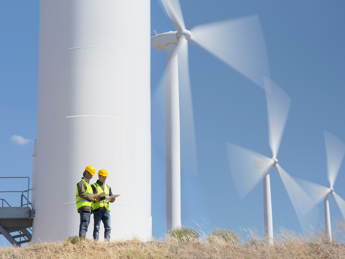
The European Green Deal and related regulations aim to make the raw materials sector more sustainable and circular. To ensure a steady supply of raw materials, the EU must explore new mineral resources while protecting the environment. Remote sensing offers low-impact tools to support all mining stages – exploration, operation, closure and post-closure. However, its full potential has remained undeveloped due to limited knowledge of its applicability for the mineral sector, lack of user-friendly data processing tools and insufficient verification of the interpretation results with in situ data. Researchers working in the EU-funded MultiMiner(opens in new window) project are developing advanced data processing algorithms to harness Earth observation (EO) technologies for mineral exploration and mine site monitoring. “We seek to unlock the potential of EO data, including Copernicus, commercial satellite, airborne drone and in situ data, to support the entire mining life cycle,” notes scientific coordinator Maarit Middleton. The focus is on creating innovative EO data analysis tools using weakly and self-supervised machine learning methods. “These approaches require little to no in situ data for training, making them ideal for tackling the operational constraints of the mining sector. Applications include, for example, detecting subtle ground surface changes caused by mining and enhancing mineral exploration activities,” adds Middleton.
High-resolution approaches to complex geologies
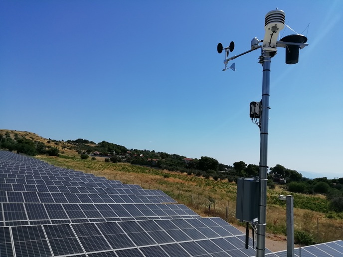
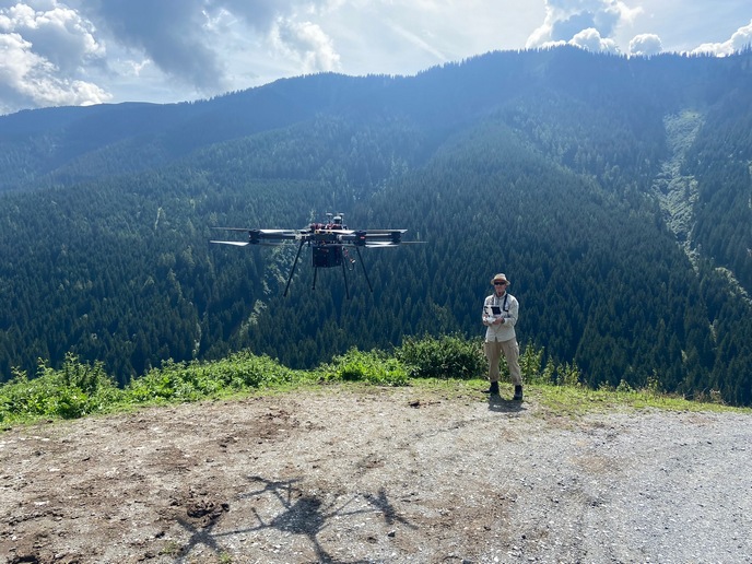
MultiMiner’s multi-scale data approach developed for mineral exploration and mapping represent a notable improvement over conventional techniques, offering higher spatial and spectral resolutions and adaptability to complex geological environments. The terrestrial hyperspectral scanning system enables high-resolution, in situ hyperspectral imaging directly on mining walls, supporting both exploration and exploitation while advancing geological research. The UAV-based hyperspectral imaging system introduces oblique scanning angles (45° and 90° off-nadir), significantly improving visibility and coverage of vertical and stepped surfaces. With a ground resolution of 6-8 cm per pixel, it delivers highly detailed surface characterisation.
Next-generation algorithms for continuous mine site monitoring
Regarding mine site monitoring, MultiMiner’s work helps advance the field in two ways. First, dense image time-series analysis and less frequent drone imagery are combined for advanced detection of surface properties. Models are based on weakly supervised models designed to handle sparse in situ data. Secondly, MultiMiner introduces generic mine site monitoring algorithm that integrates data from multiple sources (e.g. Copernicus Sentinels, hyperspectral and drones) across various spatial, temporal and spectral resolutions. This algorithm supports continuous monitoring, balances frequent and sparse data sources and adapts to diverse monitoring tasks.
Scalable solutions for sustainable and transparent mining
MultiMiner aims to significantly contribute to mineral exploration and mine site monitoring by delivering scalable technologies that seamlessly integrate scarce in situ data with multi-temporal and multi-modal EO data from all relevant sources. These novel solutions will enhance access to critical raw materials (CRMs), promote sustainable mining and support stakeholders across the mining cycle, including the mining, exploration and EO value-adding industries. “Our user-friendly, weakly supervised tools for remote sensing-based exploration and monitoring enable more effective use of EO data. This is expected to lead to discoveries of new CRM deposits, improved mining safety and better environmental monitoring,” states Middleton. “Our solutions also increase transparency in mining operations, allowing early detection of environmental impacts, while their low environmental footprint makes them potentially more socially acceptable.”