Remote sensing partnerships for optically complex waters
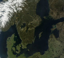
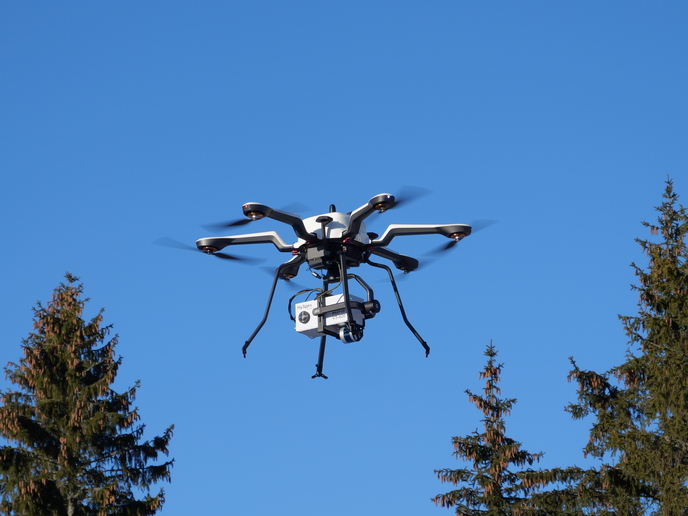
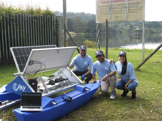
The main source of remote sensing data comprises optical signatures obtained from satellites or airborne and even close-range spectroradiometers. This data can be related to water quality parameters, but is strongly influenced by the atmosphere, lake or sea bottom, and the point of interaction between land and water. This can result in problems in interpreting data, specifically in optically complex waters (OCWs), such as coastal seas, lakes and shallow areas. Inland and near-coastal waters suffer the greatest impact from human activities; therefore, a better and more efficient way of monitoring the ecological status of these areas is needed. Furthermore, the transfer of knowledge concerning Earth monitoring to policymakers and the public sector can only be achieved through active collaboration. The EU-funded WATERS(opens in new window) (Strategic partnership for improved basin-scale water quality parameter retrieval from optical signatures) project enabled three prestigious research groups and three SMEs to work together in the field of remote sensing of OCWs. The Tartu Observatory, Stockholm University and the Finnish Environment Institute, together with SMEs from Germany, the Netherlands and Sweden formed strategic and dynamic partnerships through a transfer of knowledge programme. Project partners developed ground-based techniques for the observation of OCWs and remote sensing processing algorithms specific to OCWs. These were incorporated into new ecological mapping products and remote sensing tools to improve the quality of Earth observation (EO) services. Results include an instrument for close-range spectroradiometric water quality monitoring and an automated ship-board reflectance monitoring unit. They also include reports on the characterisation of optical properties of aerosol in the Baltic region and user requirements for water remote sensing. WATERS has made a significant contribution to the technology for monitoring OCWs and established strong ties with the European Space Agency (ESA), enabling the utilisation of data from the next generation of EO satellites. Therefore, the results from WATERS will be useful to the EU's Copernicus programme. New approaches developed for ecological monitoring include information about the water quality in a geographic information system, which will be of particular interest for the EU's Water Framework Directive (WFD).