Sentinel satellites boost cryosphere studies
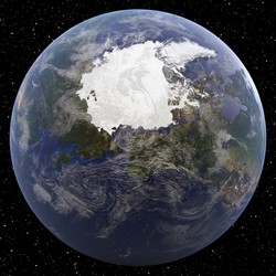
Changes in the frozen water part of the Earth system known as the cryosphere are expected to play a role in climate change studies, hydrology and hydropower. They will also affect the quality of fresh and coastal water, through melting snow and the thawing and freezing of soil to induce and restrain different processes in the aquatic environment. These processes are also influenced by changes in land cover. The Sentinel series of satellites were developed to carry out observations for Europe’s Copernicus programme through global coverage of the Earth’s surface. The EU-funded project SEN3APP(opens in new window) (Processing lines and operational services combining Sentinel and in-situ data for terrestrial cryosphere and boreal forest zone) developed Sentinel data for terrestrial cryosphere and land cover applications. At the heart of SEN3APP was Finland’s Sodankylä National Satellite Data Centre, which provided data from the Sentinel-1, -2 and -3 satellites. The Data Centre developed a system to handle the extremely high volume of data provided to create value added products and services. These were integrated with data from other external services to offer both raw and processed data to users via a user-friendly interface and search mechanism. Products and services were created for a range of different purposes, including the classification of crops and vegetation. They were also used to characterise the extent of snow cover for the northern hemisphere and the high resolution (5 km) pan-European determination of snow water equivalent. The wet snow cover product was created for the European Alps, providing binary information on melting snow for non-forested areas. SEN3APP also developed a daily fractional snow cover (FSC) product for the Baltic Sea region to determine the FSC for all satellite overpasses on a given day. Knowledge on glacier ice velocity led to a better understanding of a wide range of processes related to glacier dynamics and the development of glacier lakes and associated hazards.


