How the stratosphere impacts weather and climate
Day-to-day weather happens in the troposphere, but events in the stratosphere – the next layer up in the Earth’s atmosphere – can have a significant influence on what happens at the surface. This downward influence can persist for several weeks. So while conventional forecasts usually cover up to 10 days, if there is a stratospheric influence, you can extend the range of the forecast. Researchers from the EU-funded project stratoIMPACT(opens in new window) are filling in the gaps in knowledge of the physical processes that drive these impacts. “We know the stratosphere has an influence but we don’t know enough about the mechanisms of how this influence happens,” says Hilla Afargan-Gerstman, the project’s main researcher and a postdoctoral researcher at ETH Zurich’s(opens in new window) Institute for Atmospheric and Climate Science. “We also don’t know how it will evolve under climate change.” With support from the Marie Skłodowska-Curie Actions(opens in new window) programme, Afargan-Gerstman began by studying sudden stratospheric warming(opens in new window) (SSW) events. The stratosphere’s most dramatic meteorological events, these occur when temperatures over the Arctic rise rapidly, weakening or even breaking the polar vortex, the large-scale circulation of air over the North Pole.
When sudden stratospheric warming events matter
Only around two thirds of SSW events have an impact on weather, but scientists find it hard to predict which will do so. By analysing observations and the results of running an idealised climate model, Afargan-Gerstman managed to characterise the three factors which make it likely. These are the warming of the temperatures in the lower stratosphere, pre-existing conditions in the North Atlantic and whether there are anomalies in the wind over the Eastern Pacific. “If the anomalies are strong in the lower part of the stratosphere, there are higher chances of a downward impact. It also matters what air circulation is dominant in the Eastern Pacific to have a downward impact in the North Atlantic,” notes Afargan-Gerstman.
Overconfident forecasts
A second step was to test the accuracy of predictions made by numerical weather prediction models compared to historical observations. Using a new data set from the European Centre for Medium-Range Weather Forecasts(opens in new window), she analysed 20 years of past forecasts, looking at events where the polar vortex was either extremely weak or extremely strong, and tracking what happens in each case. “We found that the model was a little overconfident in predicting a change in the storm track after SSW events. When there was a stronger polar vortex, the model did a better job,” adds Afargan-Gerstman.
Impact of climate change
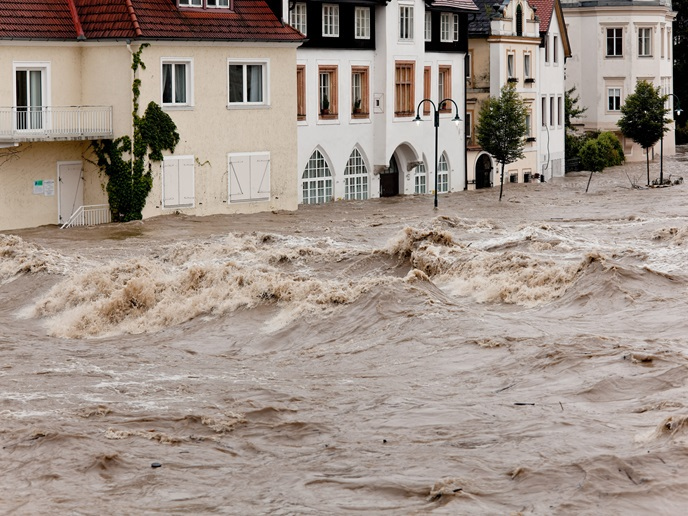
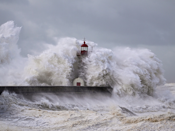
Examining how climate change will affect the interplay between stratosphere and troposphere and how well this is represented in climate models was another focus of the research. Afargan-Gerstman analysed climate models to see how they predict changes in the polar vortex and its coupling with the troposphere. She analysed the uncertainty in these projections for different greenhouse gas emission scenarios, publishing the results as part of a community paper led by scientists from the PolarRES project. A significant part of future changes in surface weather and, more specifically, the position of the jet stream, are related to the changes in the stratospheric polar vortex, Afargan-Gerstman found. Scientists predict climate change will also bring more frequent extreme storms in Europe. “To understand how extreme storms will behave in the future, we also need to understand what drives them. My contribution is drawing the community’s attention to the influence of the stratosphere on storm tracks and to the uncertainty that we have in current climate models,” says Afargan-Gerstman.