Anticipating multi-hazards strengthens disaster resilience
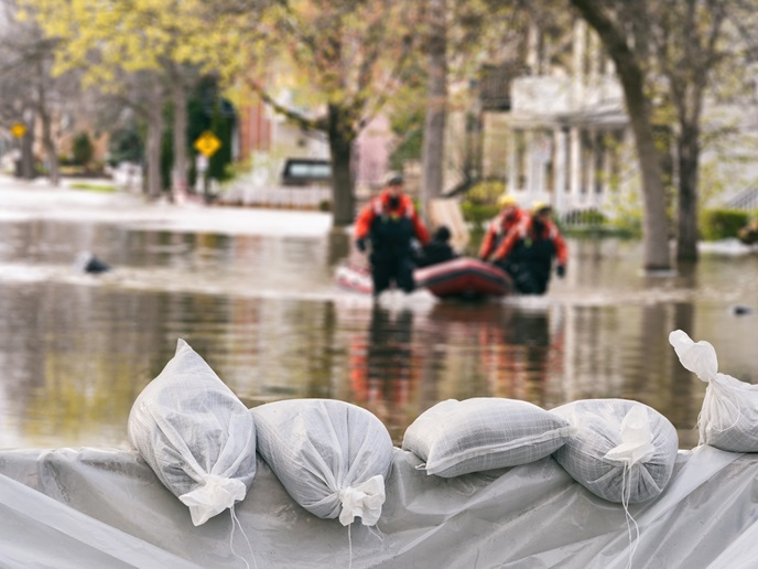
Europe’s disaster risk management systems still rely largely on single-hazard assessments that fail to capture how natural hazards interact, cascade and amplify one another. Floods can trigger landslides, earthquakes can damage flood defences, and climate change is increasing the frequency and intensity of these multi-hazard events. “Decision-makers lack tools to understand such interconnections, quantify compound risks and evaluate adaptation options across physical, social and economic dimensions,” says MEDiate(opens in new window) project coordinator Abdelghani Meslem from NORSAR(opens in new window) in Norway.
Forward-looking resilience strategies
The EU-funded MEDiate project was launched to bridge this gap by developing an integrated, multi-hazard decision support framework. The aim was to enable authorities and critical-infrastructure operators to anticipate cascading impacts, assess vulnerabilities, and plan more coherent, forward-looking resilience strategies at local and regional scales. “Our ambition was to move beyond isolated hazard models and create a decision support system (DSS) that integrates physical, social and economic dimensions of risk and resilience,” explains Meslem. “We wanted to develop practical tools to test ‘what-if’ scenarios, compare mitigation and adaptation options, and make informed, evidence-based decisions.” To achieve this, MEDiate worked with end users and innovation leaders in four European regions(opens in new window) that all face urgent problems relating to interacting natural hazards. These were Oslo in Norway, Nice in France, Essex in the United Kingdom and Múlaþing in Iceland. Essex for example faces flooding and heatwaves, while Múlaþing faces avalanches, landslides and mudflows. “We began by identifying key needs through participatory research, and translated these into system requirements and use cases,” notes Meslem. “In parallel, research teams developed methods to model interacting hazards and cascading impacts, and defined risk and resilience metrics aligned with policy and operational practice.”
Multi-criteria decision analysis tool
These components were then integrated into a web-based DSS that lets authorities create scenarios, simulate impacts on buildings and critical services, and compare mitigation/adaptation options. In practice, users load or select a regional baseline, choose single or combined hazard scenarios, simulate physical and social impacts (e.g. damage to buildings, disruption to roads and power, access to essential services), and compute risk and resilience metrics. A built-in multi-criteria decision analysis module then compares mitigation and adaptation options, presenting ranked strategies with transparent assumptions and uncertainty bands. Results are visualised on maps and dashboards to support communication across departments. “Across four European testbeds, end users and critical-infrastructure operators reported that the DSS improved actionability, transparency and comparability of options, and helped structure discussions between technical teams and decision-makers,” adds Meslem. “Iterative testing via co-design workshops, games sessions and stakeholder exercises led to tangible usability and explainability improvements, validating the tool’s readiness for pilot-scale operational uptake.”
Revealing interactions and cascading impacts
By revealing interactions and cascading impacts and comparing mitigation/adaptation options transparently, the DSS can also help authorities to target cost-effective investments. Citizens stand to benefit through safer buildings and networks, and faster restoration of essential services such as roads, power and access to schools and hospitals. “Because socio-physical vulnerability and access metrics are built in, the approach supports fair, inclusive decision-making, prioritising those most exposed or least able to cope,” explains Meslem. The consortium is now focused on bringing MEDiate into operational use by refining the DSS for deployment and long-term maintenance. A sustainability and exploitation plan(opens in new window) led by NORSAR and partners sets out how the platform will evolve, with options for open access research use and subscription-based services for local authorities and critical-infrastructure operators. “Next steps include expanding the system to new European regions, integrating near-real-time data streams, and connecting with EU Civil Protection(opens in new window) and Copernicus initiatives(opens in new window),” says Meslem. “The team will also pursue standardisation and training activities to embed multi-hazard approaches in decision-making routines.”