Modelling water resources among the mountains
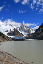
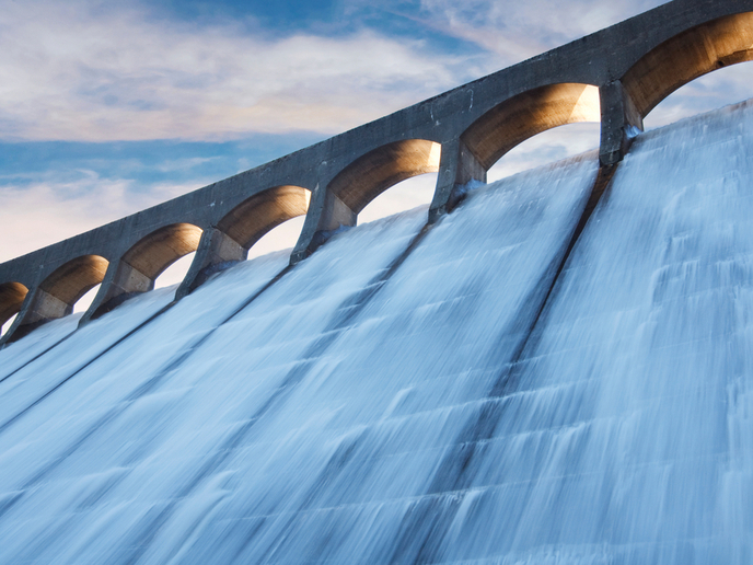
Melting snow from mountainous areas fills local rivers and restores the aquifers upon which millions of people depend for water, whether for drinking, agriculture, industry or for energy production. However, climate change and other factors mean that the water resource balance from snowmelt is becoming less consistent and more vulnerable to drought. Innovative technology is therefore needed to predict the flow of water and for the resource to be managed in an effective and sustainable way. The European AWARE project was established to provide new tools for monitoring and forecasting available water resources in mountain environments. They apply to regions, such as the Alps, where snowmelt is an important element in the annual water budget. The consortium was made up of an interdisciplinary team of hydrologists and remote-sensing specialists with long-term experience of modelling environmental phenomena. One of the research team's main objectives was to develop models to provide the data required by specific stakeholders such as hydropower and water companies, and irrigation users. The models simulate snow-pack dynamics and snowmelt runoff using satellite Earth observation data and onsite hydrological and meteorological measurements. They provide information about snow quality and distribution and important factors such as land cover, snow and soil moisture and temperature. An on-line tool has made the runoff models accessible to web users who can run hydrological models using a specially designed geo-service for the river basin of their choice. A series of integrated components, including user interfaces, web data processing services, databases, wizards and on-line help, enable users to steer their way through model calibrations on new catchments. Benefits from AWARE project include improved and accessible hydrological models that can help decision-makers and stakeholders come to more informed choices and enable water resources to be better managed.