


Esri GIS in the EU 2020 Virtual Summit | Save The Date: 3rd December 2020 9.00-12.00 CET


3 Diciembre 2020 - 3 Diciembre 2020
Brussels, Belgium
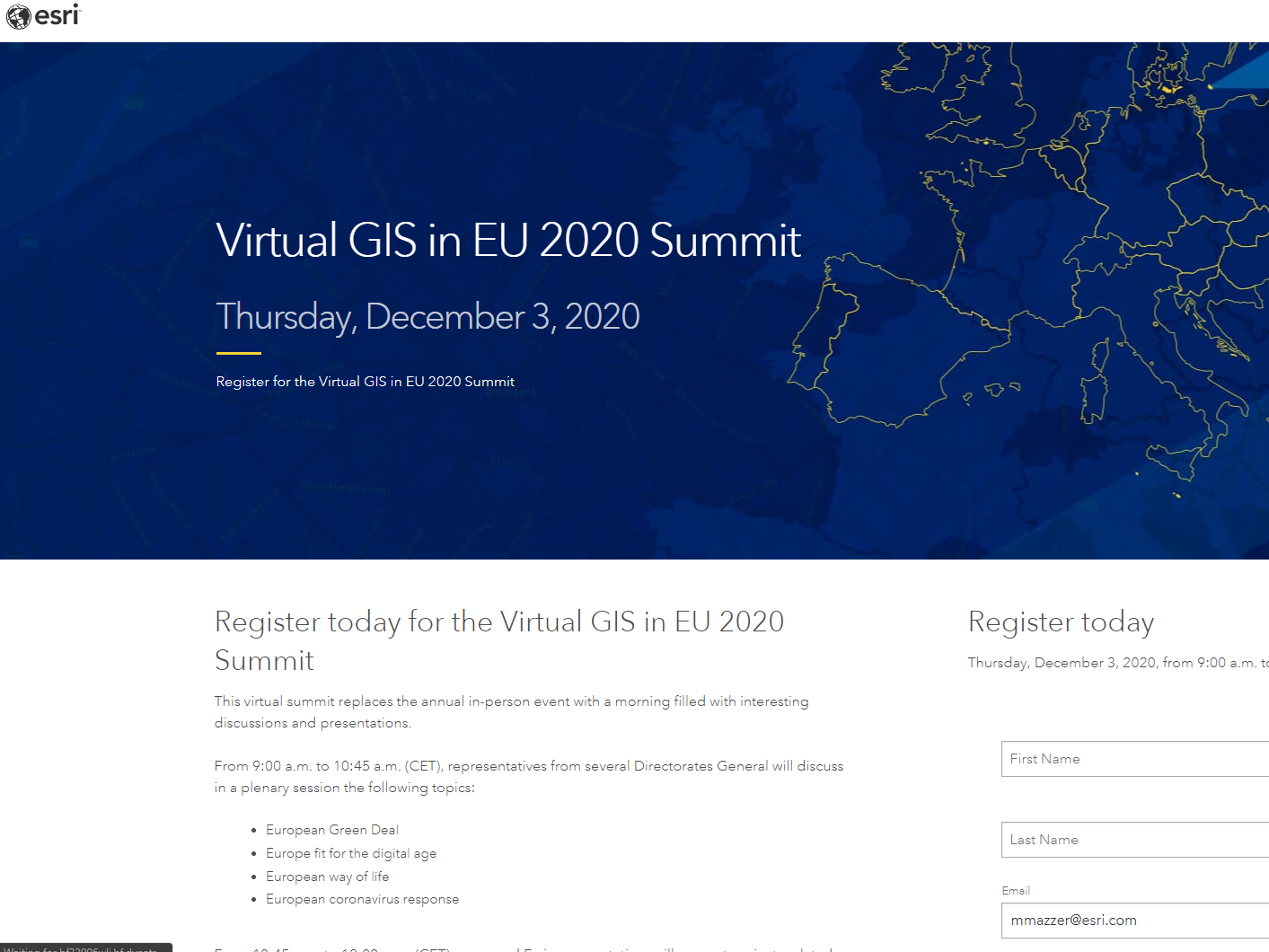
This is a once-in-a-lifetime opportunity for policymakers and geographic information system (GIS) users from across the European Commission and other EU agencies and bodies to learn how to apply location intelligence to strategic and executive decision-making.
During this event, we will have the opportunity to share real-world experiences and be inspired by proven best practices in applying GIS to several EU policies. This will be done through a series of policy-oriented plenary presentations and technical-oriented sessions.
Link to the event:
https://www.esri.com/en-us/lg/events/gis-in-the-eu-virtual(se abrirá en una nueva ventana)
During this event, we will have the opportunity to share real-world experiences and be inspired by proven best practices in applying GIS to several EU policies. This will be done through a series of policy-oriented plenary presentations and technical-oriented sessions.
Link to the event:
https://www.esri.com/en-us/lg/events/gis-in-the-eu-virtual(se abrirá en una nueva ventana)
Palabras clave
GIS, Geographic Information System, Esri, European Commission, European Union, European Green Deal, Digital Age, Defense, Migrants, COVID-19, coronavirus, Biodiversity, Artificial Intelligence, Data Strategy, Inspire, Crisis response