Reducing risk of natural disasters
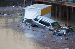
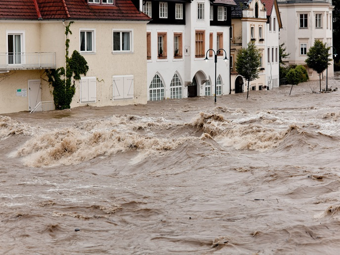
Local populations often lack the knowledge necessary about the risks involved with living in disaster-prone areas. This makes the job of those responsible for disaster management, risk prevention, civil protection and spatial planning in such regions much more difficult. The overall aim of the EU-funded 'Increasing resilience through Earth observation' (INCREO)(opens in new window) project was to provide enhanced risk management solutions for areas that are at risk of natural disasters and climate change. Project activities focused on multi-hazard situations — disasters that are triggered at the same time or in sequence. Researchers chose dam failure, wind, waves and storm surges, and flooding and landslide as the four use cases. The team developed Earth observation (EO) solutions to supply precise details on location and to allow mitigation planning where natural disasters are inevitable. The solutions drew on EO data from the EU's Copernicus programme and were carried out via satellite imagery and mapping methods. In addition, the team employed EO data to determine the number of people in a place relative to its size. Density is a key factor when evacuating local populations during a disaster. Researchers launched a global map, available on the project website. It generated 47 maps, the majority of which concerned hazard or risk and vulnerability. These maps contain information related to various European locations and disaster events. The risks associated with natural disasters can never be eliminated. INCREO, however, intends to reduce this risk to acceptable levels through its mapping of areas that are most susceptible. People and those working to protect them will be in a better position to mitigate and respond to natural disasters in Europe and worldwide.