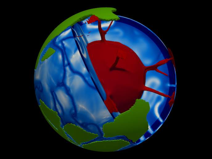
Seismic visions of the Earth's interior
Seismic tomography is like computer-assisted tomography that doctors use to look at organs inside the human body without surgery. Instead of shooting X-rays, scientists create images of Earth's subsurface based on variations in the speed of seismic waves travelling through our home planet up to the surface. Seismometers can detect up-and-down and side-to-side motions of the ground 1 000 times smaller than the width of a human hair. With the funds of the JIBSA project, geoscientists used digital earthquake records from hundreds of seismometers all over Europe to create high-resolution images of the continent's subsurface. Just as there are many ways to image a patient's body (X-rays, ultrasounds and magnetic resonance imaging), there are also many ways to do seismic tomography. One way starts by selecting portions of seismograms, such as the first pressure waves or the first shear waves, to map the tectonic plates and the mantle. Modern ground-motion measurements, however, can produce bigger data sets. JIBSA scientists used much more of the seismic wave field to obtain a richer view of Earth's interior. The newly developed ObspyDMT(opens in new window) toolbox allowed them to reduce the amount of computation needed to identify a wide variety of waveforms. Wave data retrieved from seismograms were then fed into a European mantle model, which simulates each wave as it races away from the epicentre of earthquakes. Differences identified (when the resulting 'synthetic' seismograms were compared to real seismograms) were fed back into the model. By the end of the JIBSA project, scientists had completed a study on the structure of the Earth beneath Europe using complementary information of surface waves travelling through the crust. Signal velocities and phase velocities of both Love and Rayleigh waves were considered to derive the radial as well as the azimuthal profile. Seismic tomography has taught geoscientists that Earth's interior is more complex than a simple layered sphere divided into crust, mantle and core. The new set of images showing the mantle being subducted beneath tectonic plates and plumes of rising hot magma are expected to change the way they think about how Earth works.