Remote sensing for monitoring greenhouse gases
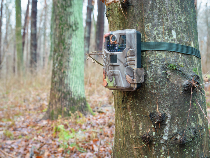
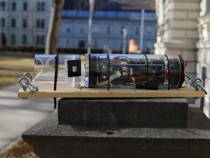
GHG emissions are the principal cause of global climate change, and GHG monitoring networks are crucial in monitoring and limiting their impact. The EU's GHG in-situ monitoring programme, ICOS, is complemented by satellite data, but it has some gaps in its coverage. The EU-funded ICOS-INWIRE(opens in new window) (ICOS improved sensors, network and interoperability for GMES) project has developed monitoring systems and improved software to enhance the Integrated Carbon Observation System (ICOS) network. ICOS is a key data provider for the GHG service of the Copernicus programme (previously known as Global Monitoring for Environment and Security, GMES). Researchers designed, developed and tested a new robust remote sensing station setup that can measure GHG concentrations and fluxes in remote places. Key components of the prototype sensing station were tested successfully in French Guyana, Namibia, Finland and Sweden. Other work has focused on improving software, algorithms and models used by ICOS. Researchers have also defined protocols and methods for near real time data transfer to Copernicus and other processes to streamline and improve ICOS outputs. ICOS-INWIRE engaged with the World Meteorological Organization (WMO) a process to standardize flux measurements. These developments directly benefit Copernicus, ICOS and the wider remote sensing community. ICOS-INWIRE enabled and extended the reliable and enhanced provision of GHG data by merging new, in-situ GHG observations and surface remote sensing to validate satellite retrievals and data assimilation within Copernicus. ICOS-INWIRE therefore supported the research and development needed to keep ICOS at the forefront of carbon observations, enabling it to produce the highest-quality GHG emissions data possible. Improved knowledge of GHG emissions will help to improve climate prediction models, thereby lead to better decision making to deal with the threat of climate change.