Copernicus aids land and sea monitoring
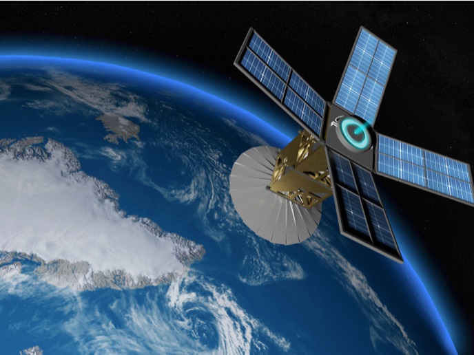
Following the altimeter missions of the Environmental Satellite (ENVISAT), Jason-1 and Jason-2, Sentinel-3 will amass observations of the Earth's surface topography. The radar altimeter on board Sentinel-3 will provide high-resolution height data of the sea surface in open oceans, coastal seas, inland water and sea ice areas. Its synthetic aperture radar altimeter (SRAL) capability is a new feature, and similar data have not been used in operational marine services until today. Therefore, new methodologies and tools are needed for the data streams expected from this new instrument. The objective of the EU-funded project LOTUS(opens in new window) (Preparing land and ocean take up from Sentinel-3) was to support the development of Copernicus by developing applications of Sentinel-3 to complete the space observation infrastructure that are designed for land and ocean monitoring for Copernicus. Project partners have designed a data processing scheme for extracting high-resolution sea surface height, wave height and wind speed information from the new SRAL data. For its validation, data from the European Space Agency's (ESA) Cryosat-2 satellite carrying a similar instrument were used as a reference. For the operational land services, the LOTUS project team exploited the high resolution of SRAL data and integrated these with complementary data from ocean modelling and ground-based sensors. The developed services will have global applicability that will be demonstrated in selected case study regions. New products based on the synthetic aperture radar (SAR) mode data will support operational services for emergency response to threats such as storm surges and flooding. The new land products will provide valuable information about the hydrological cycle and support services on monitoring hydrological parameters for climate change. LOTUS has disseminated the results on the use of SAR mode data, and derived DEMO products of new Copernicus' ocean and land services and for European small and medium-sized enterprises to facilitate the exploitation of the new products in value added applications. With the help of industry involvement, the LOTUS project will also encourage commercial activities and investments, supporting the operational services for emergency response and security.


