Applying geomagnetism to discover the past
Earth’s magnetic field is critical for maintaining life on our planet. Generated in the outer core at a depth of about 2 900 km, the field acts as a shield against cosmic radiation. Despite its importance however, many of the mechanisms governing the geomagnetic field still remain shrouded in mystery. “Our knowledge of the behaviour of the geomagnetic field is also limited,” notes GeoArchMag project coordinator Ron Shaar from the Hebrew University of Jerusalem(opens in new window). “People only started to measure the intensity and direction of this field about 180 years ago.” This means that our record of Earth’s geomagnetic field is patchy, and extends only to the last two centuries. In order to go further back in time, geologists need to rely on indirect measurements, for example through extracting magnetic information from rocks.
Geomagnetic field over thousands of years
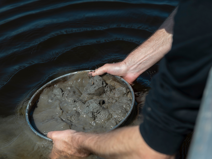
The objective of the GeoArchMag project, which was supported by the European Research Council(opens in new window), was to strengthen measurement techniques to help geologists better understand the geomagnetic field. To achieve this, the project combined two methods. The first approach was to date archaeological materials. The Near East, a region historically recognised as the ‘cradle of civilisation’, contains archaeological artefacts that date back in some places over 10 000 years. New methods to extract magnetic information from hundreds of artefacts were developed and trialled. Next, the project team collected sedimentary layers from bodies of water in the same region, including the Dead Sea and the Sea of Galilee. Geomagnetic data was then extracted and recorded and combined with the archaeological data to create a unique magnetic archive. “From this, we were able to generate a curve that depicts the behaviour and strength of the geomagnetic field over the past several thousand years,” says Shaar.
Visualising Earth’s geomagnetic evolution
The ability to record and visualise the evolution of Earth’s geomagnetic field in this way has enabled the team to make some discoveries. “We were able to identify the strongest field that Earth can generate,” adds Shaar. “We also showed that the intensity of Earth’s magnetic field can change much faster than previously thought.” These findings could help geophysicists to answer some key questions. We know for example that there is a hole in today’s magnetic field in the South Atlantic. This has led to research and risk assessments, to see if Earth could be more vulnerable to extreme solar storms. “In the curve, we found that similar anomalies existed in the past,” notes Shaar. “This weak spot is not a unique feature.”
Opportunities in geology and archaeology
For geologists such as Shaar, applying magnetic dating techniques to sediment could lead to more accurate results. Traditional carbon dating techniques have to rely on the presence of radiocarbon. “There is so much uncertainty when we study the Earth’s past climate, and this is where we think we can contribute,” remarks Shaar. In addition, the project has also created new opportunities in the field of archaeology. Archaeologists can extract magnetic information from an artefact, compare it to the geomagnetic curve, and accurately date it. “Linking these two disciplines that are so different has been really exciting,” says Shaar. “Increasing our understanding of the geomagnetic field and understanding its importance to our lives has also been very worthwhile.”