Vision-augmented navigation resolves satellites’ blind spots

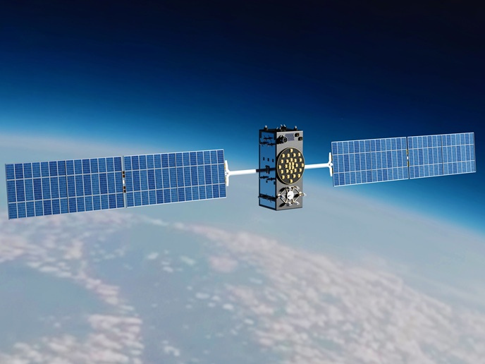
Satellites systems that provide positioning, navigation and timing services are considered critical infrastructure, supporting autonomous vehicles, engineering surveys and much more. Yet coverage remains incomplete. “In urban environments especially, navigation devices often lose satellite signals, disrupting positioning information, underlining the need for more resilient systems,” says Phillipp Fanta-Jende, coordinator of the EGeNiouSS(opens in new window) project. To address this, EGeNiouSS augmented global navigation satellite systems (GNSSs) with visual localisation technologies, boosting their reliability and accuracy. Advanced computer vision, photogrammetry and geodesy techniques offer GNSS-independent absolute positioning information, thanks to highly accurate geospatial datasets distributed via the EGeNiouSS cloud service. “As GNSS-complementary positioning becomes increasingly important, especially for autonomous systems, we demonstrate it can be both cost-effective and scalable,” adds Fanta-Jende from the Austrian Institute of Technology(opens in new window), the project host.
Visual localisation and multi-sensor fusion
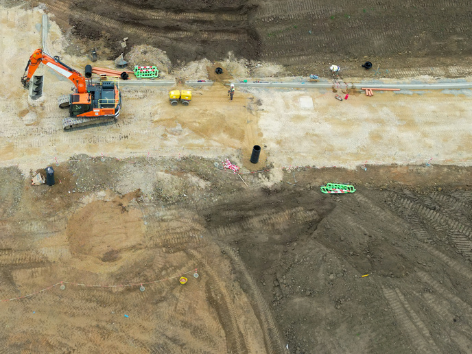
Maintaining accuracy and reliability in complex environments, such as dense urban areas or locations where signals are degraded or unavailable, is a constant challenge of modern satellite positioning services. Most workarounds rely on fallbacks such as radio-navigation systems for aviation, or other radio-based technologies such as Wi-Fi or ultra wideband for terrestrial applications including smartphone localisation-driven services. The EGeNiouSS solution uses sensors, such as a smartphone camera, alongside GNSS services, including Galileo’s High Accuracy Service(opens in new window), to calculate both relative and absolute positioning. This is complemented by a cloud-based component which distributes geospatial reference data to the operating platform or edge device, which cross-references camera images with these datasets; all while adhering to strict privacy principles. “While GNSS, or similar systems, must be available to initialise our solution, the system can still provide users with essential localisation information if this signal becomes unavailable,” Fanta-Jende explains.
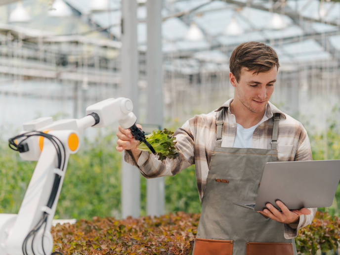
Towards smarter and safer everyday mobility
All core components were tested under experimental conditions appropriate to their function. For example, the sensor-fusion module was evaluated for its ability to estimate a smartphone’s real-time position and orientation by combining the available sensor inputs. An algorithm processes the signals from an inertial measurement unit (IMU) and GNSS phone-mounted receiver, while comparing the detail of camera images against close-range, terrestrial mobile mapping and aerial geospatial reference datasets of the same area. Post-processing techniques then compare this position and orientation estimate to centimetre-accurate ‘ground truth’ to validate the performance of this real-time solution. “Alongside individual components performing well, EGeNiouSS showed promising adaptability to very different deployment priorities, from low-cost computational efficiency, to maximum accuracy and robustness,” notes Fanta-Jende. End-to-end solutions are currently being tested with volunteers and external participants in three use cases: smartphone land surveying using QField(opens in new window), prioritising accuracy; bicycle navigation using the Naviki(opens in new window) app, with low-cost and low-power paramount; and, drone goods delivery, with cached geospatial maps offering offline visual localisation. “It is key to assess the solution not only from a technical perspective, but also in terms of usability and practical deployment,” adds Fanta-Jende. “The flexibility of the solution gives it the potential to support both consumer-oriented services and high-value professional applications.”