Integrated high-resolution urban mapping system
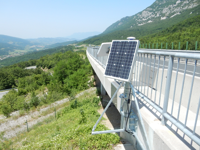
Geo-location and reference systems have become a part of everyday life. People use satellite-based navigation systems in their cars to navigate unknown roads and on their home computers to find their houses on detailed satellite images. Satellite navigation systems that provide global coverage are collectively called Global Navigation Satellite Systems (GNSS). The term Global Positioning System (GPS) refers to the GNSS of the United States, the first such system that was fully operational. Galileo is Europe’s own GNSS currently being built and tested by the EU and the European Space Agency (ESA). GNSS provide information about the position of something on a global map. Another technology important in capturing images and measuring positions of things and the distances between them is light detection and ranging (LIDAR). LIDAR technology is currently used to provide fast, accurate images over large areas such as those required in urban planning. These images can be complemented with lower-resolution images such as those provided with web-based satellite services. Geo-location of urban maps produced by LIDAR is currently provided by loosely coupled GPS/Inertial Navigation System (GPS/INS) receivers. So far,, technology has proven to be very expensive and performance sub-par under conditions of poor satellite visibility. With EU funding of the ‘Advanced techniques for navigation receivers and applications’ (Atenea) project, European scientists integrated LIDAR techniques with GNSS/INS receiver architectures and Galileo signal processing capabilities. Atenea delivered a system capable of navigating 5 to 50 cm with 1 second accuracy in difficult urban environments, providing a drastic increase in robustness and continuity at significantly lower cost. Project technology facilitates numerous outdoor and even indoor applications not previously possible. It will be the key to terrestrial mobile mapping, the generation of 3D Earth surface models that include 3D urban models. Atenea has already been the enabler of several terrestrial geodata acquisition missions. Overall, Atenea delivered not only innovative and improved geo-location technology but also a software development environment that will be valuable in future integration of navigations systems and sensors.