Intelligent transport for the future

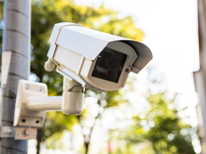
An EU-funded project set out to examine intelligent transport infrastructures, with a particular focus on the management of large-scale events and crises. The 'Eye in the sky' project used the Athens Olympic Games of 2004 as a test case. As a first step, user needs were identified from an analysis of the requirements for the 2000 Olympic Games in Sydney and the 2000 EXPO in Hanover. This analysis was used in the design, implementation and mounting of an optical sensor on an airship. Testing of the airborne service, including air-to-ground communications, was then carried. Another part of the first step was the implementation and validation of traffic data generation, so-called floating car data (FCD). This data was then fused with information from static sensors and used to develop a set of new services for fleet management and mobility information. Additional project tasks included the functional optimisation of the FCD-approach for inner-urban applications and the integration of navigation services. Both terrestrial and airborne elements of the project underwent field trials in the real environment of Athens. The final results were then evaluated and compared to end users' real needs. In parallel to the technical work, dissemination activities, such as workshops and publications, sought to create awareness of the potential for market take-up of the services developed. Finally, a business plan and a service definition strategy were drawn up. The project achieved a number of results. It successfully developed and validated intelligent transport infrastructure based on surveillance, communications and geographic information/digital mapping technologies, and tested the near real-time downloading and acquisition of sensor data to ground stations, as well as near real-time processing of the data into traffic information. In addition, a complete digital road/traffic database was set up - for the first time - for a specific urban area, to serve as a geo-reference for multiple layers of relative information like road types, signs and restrictions, topographic data and the statistic traffic flow model. The findings from 'Eye in the sky' are not exclusive to the transport and technology sectors, but offer insight into ways of improving the lives of European citizens and Europe's socio-economic base.