Improving deforestation monitoring tools
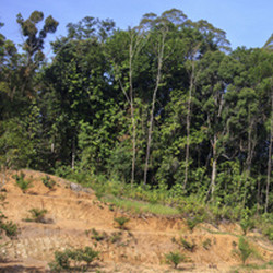
The volume of biophysical data from satellites has expanded massively in the last few years, and the demand for that data has increased. Particularly, there is a need for improved deforestation data on a large spatial as well as temporal scale. Funded by the EU, the 'Monitoring forest degradation using terrestrial lidar and satellite images' (STRUCCHANGE) project contributed to improving the assessment of deforestation and forest degradation. The project made use of recent advancements in laser technology and Earth observation techniques. A ground-based laser scanner (known as lidar) was used to develop a new technique for measuring forest canopy structure. This provides more accurate information on forest biomass and other attributes. Secondly, researchers developed a new modelling framework to study the relationship between canopy attributes measured by lidar and satellite data. Together, this information was used successfully to assess deforestation. However, researchers found that this method did not take seasonal canopy variation into account. Consequently, they built an algorithm called BFAST to incorporate seasonality into deforestation assessments. The results of this area of work are available on the project website(opens in new window). STRUCCHANGE work has been well-received by the scientific community and has generated much international interest. In particular, Google is currently incorporating the project outcomes into a global forest disturbance monitoring tool on its Google Earth platform.