Earth observation data for ecosystem monitoring
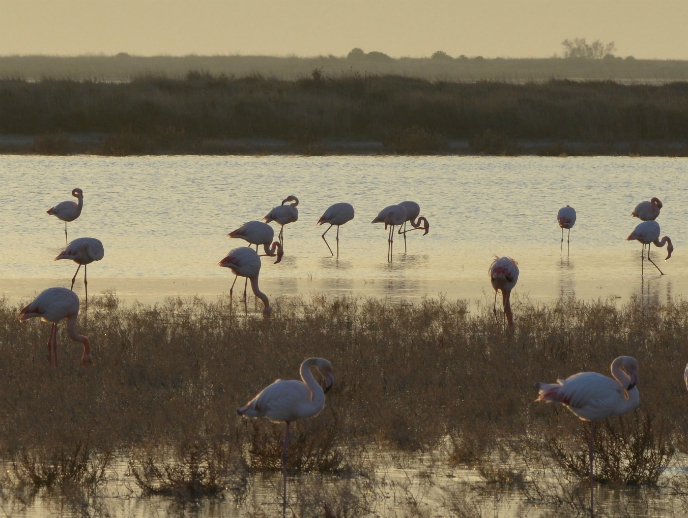
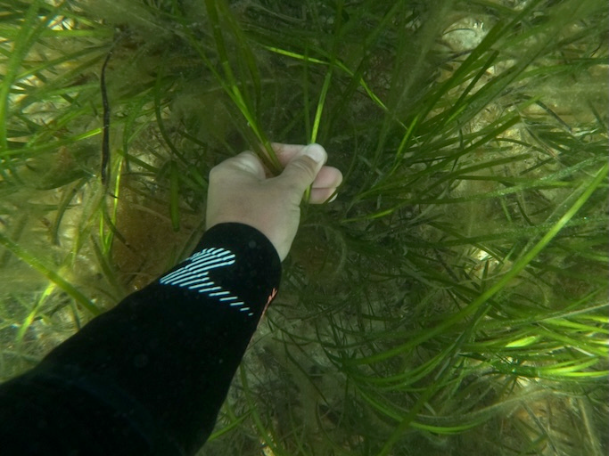
Terrestrial and marine ecosystems provide essential goods and services to human societies. However, ongoing anthropogenic pressure threatens ecosystems, necessitating knowledge-based conservation, management and restoration policies. A united effort for ecosystem preservation The EU-funded ECOPOTENTIAL(opens in new window) project developed a framework for ecosystem studies and management of protected areas. These include internationally recognised protected areas such as National Parks, UNESCO World Heritage and Natura2000 sites, and marine ecosystems. As project coordinator Dr Antonello Provenzale explains: “the areas have been selected to cover the main climatic and biogeographical regions of Europe.″ The idea is to address environmental and ecological challenges and formulate effective management recommendations of protected areas. ECOPOTENTIAL partners monitor ecosystems by combining field data, remote sensing such as satellite observations, and mathematical modelling of current environmental and ecological conditions. Alongside maps of the main environmental characteristics obtained from satellite images, these tools help track ecosystem shifts due to climatic and land-use changes. Remote sensing data has also benefited the daily management of ecosystems, addressing issues that could not have been approached with purely in situ data collection or modelling. Paramount to the ecosystem management effort is the quantitative assessment of expected changes in ecosystems themselves and in offered services. ECOPOTENTIAL has generated climate impact and ecological models capable of supporting future ecosystem projections. Project partners are working closely with local managers and workers who received specific training on remote sensing methodologies and tools. “The continuous interaction between researchers and technical/management staff has allowed us to identify a set of priority policy recommendations that have been presented to the European Parliament and are included in a public brochure(opens in new window),” continues Dr Provenzale. These recommendations notably include expanding the use of Earth Observation to monitor and manage ecosystem services and incorporating remote sensing indicators in future environmental strategies. The long-term impact of ECOPOTENTIAL ECOPOTENTIAL has laid the foundation for using and storing existing Earth observations to produce ecosystem-relevant knowledge. It has generated an online platform, the Virtual Laboratory, which offers access to scientific knowledge for particular ecosystems and protected areas and which is linked to the GEO portal GEOSS(opens in new window). ECOPOTENTIAL satellite observations and 3D models have facilitated the monitoring of various ecosystems. In the Wadden Sea, a UNESCO World Heritage Site in the Netherlands, these tools have enabled the simulation and prediction of food supply availability for the millions of birds living or passing through the area. In Portugal, the high biodiversity Natura 2000 sites called montados produce livestock and half of the world's cork; ECOPOTENTIAL scientists used indicators, such as tree cover density or leaf area index to monitor cork oaks' health, pasture growth and ecosystem dynamics for a better management by farmers. The Kalkalpen National Park in Austria is home to more than 900 plant species and climate changes threaten to damage the forest, reducing its capacity to retain pollutants. Satellite images and ecosystem models can provide guidance to optimise carbon sequestration and biodiversity. Considering the dynamic relationship between ecosystems and human communities, identifying the important drivers of change is paramount to designing conservation strategies. Dr Provenzale is confident that “ECOPOTENTIAL will help support better decision making by transferring relevant scientific and technological knowledge into policy building, improving ecosystem services and benefiting communities.″