Smart parking software delivers urban planning potential
Smart parking solutions are systems and devices designed to help drivers find vacant parking spaces. Examples include real-time parking occupancy monitoring based on vehicle detection sensors. They also include digital information panels, payments kiosks and smart parking mobile apps. “Smart Parking means that citizens do not have to struggle in searching for parking spaces,” explains QPARK(opens in new window) project coordinator Ricardo Vitorino, Smart Cities R&I manager at Ubiwhere(opens in new window), Portugal. “They are able to find the quickest way to a vacant spot, and pay digitally.” The technology also supports municipalities and parking managers in achieving operational efficiencies, and in reducing traffic congestion. Understanding mobility patterns can lead to optimised parking occupancies, and reduced pollution peaks. “Existing smart parking solutions however tend to be solely focused on the specific mobility challenge of parking,” notes Vitorino. “There is a missed opportunity here. The collected data could be used, together with other urban planning activities, to really help us move towards smart cities(opens in new window).”
Real-world scenarios
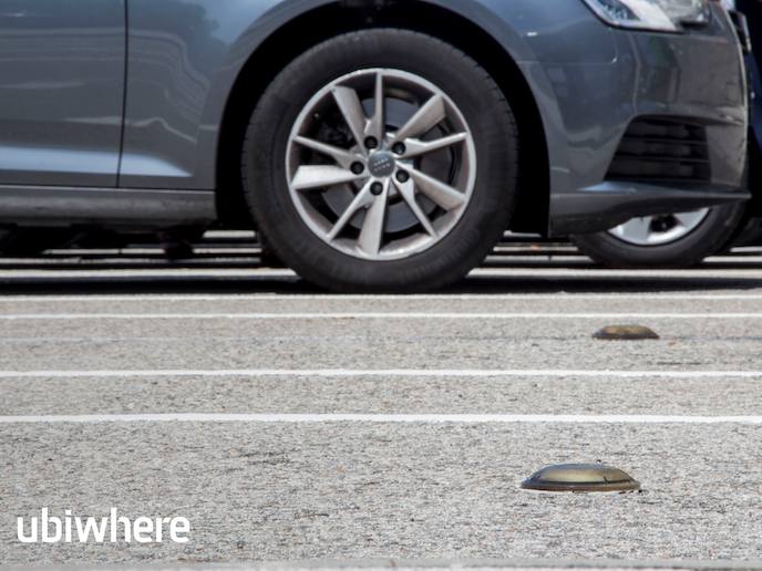
The QPARK project builds on Ubiwhere’s existing Smart Parking solution. This is composed of vehicle-detection electromagnetic sensors and an intelligent software platform that collects and processes all the data. The aim of this EU-funded initiative was to enrich the platform with urban planning capabilities. In practice, this means that the tool could be used by city planners to assess which roads and parking areas of a given city are most affected by certain events. The platform would then generate reports to improve the situation. To do this, Vitorino and his team adapted their Smart Parking solution to enable it to use CARMA(opens in new window), a modelling language that was developed in a previous EU-funded project. “This allows the platform to simulate the usage of the roads and parking areas of a city,” he says. Another key innovation was the platform’s ability to import real-world maps from OpenStreetMap(opens in new window). This means that Ubiwhere’s platform can be applied dynamically to real-world scenarios. Users can also insert certain parameters into the platform’s simulation engine, such as the length of an event, or the average duration of parking. Vitorino and his team then successfully applied their solution during the QPARK project to analyse the roads and parking areas in the Portuguese city of Aveiro.
Urban planning capabilities
The end result, says Vitorino, is a platform that supports various what-if analyses and provides urban planning reports as a service. “This has been the greatest accomplishment of this project,” he says. “By developing a system that leverages parking and traffic simulations, we are able to provide smart cities with additional planning abilities.” For example, city planners can simulate and analyse how parking lots and spaces become constrained when roads are changed or closed, or when traffic increases due to popular events. This should lead to more efficient parking provisioning, reducing road traffic and related emissions. “We intend to use knowledge obtained within the QPARK project to keep improving our Smart Parking platform,” continues Vitorino. “We are also running other projects, where we are analysing the mobility patterns of vehicles to optimise the usage of corporate car fleets.” The urban planning solution could also help Ubiwhere to differentiate itself from other smart parking solution providers on the market, unlocking new business opportunities. “We hope this type of feature will also bring us closer to innovative research centres and universities,” says Vitorino.


