From Europe to Australia: Borderless research produces innovative tools for wildfire management
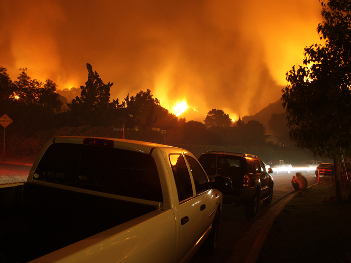
2019 was a record year for wildfires in Europe(opens in new window): starting early, the fire season had by May already surpassed the figures for the entire 2018. Countries all over the world struggle with wildfires every year, and bit.ly/2DXiq2q (extensive research) is needed to develop tools to predict, prevent and mitigate their destructive impact on environment, society and economy. Recognising the potential for knowledge sharing in addressing this global challenge, the GEO-SAFE(opens in new window) project established a wildfire research network linking European and Australian researchers and firefighting organisations. With support of the Marie Skłodowska-Curie programme, the project made significant advances in the areas of risk cartography, evacuation planning, and decision-making models for prevention and mitigation.
New models for risk cartography, evacuation and decision-making
Aiming to improve the quality and usability of risk cartographies for wildfires, the project developed a method to extract landscape representations from images produced by drones, planes and satellites. The images from drones are especially significant, as they have a high resolution and are able to capture details of smaller areas. “From these images, 3D cartographies as well as fire spread and ignition probabilities can be estimated, an important development to support wildfire modelling and decision making on the ground,” explains project coordinator Edwin Galea. bit.ly/2FCwVJG (Evacuation modelling) was another key priority for the project. On the basis of an existing model, urbanEXODUS, the project developed an evacuation tool that, for the first time, links pedestrian-vehicle and wildfire models, enabling simulation of the interactive evacuation of large communities by foot or vehicle. This supports incident commanders’ decision making in the field, helping them decide when a specific region can be safely evacuated.
Multidisciplinary international team key to success
The project consisted of 107 researchers and end-users from 20 partners in 6 European countries (Spain, France, Italy, the Netherlands, Switzerland, United Kingdom) and Australia. The participating researchers represented a wide range of disciplinary fields (mathematics, modelling, fire safety and behavioural psychology, to name a few) and collaborated across areas of expertise and with end users to understand the planning, logistical and real-time needs for addressing wildfires. “Managing any project with so many scientists, from so many organisations in so many different countries is always challenging!” reports Galea. Adding to the complications of coordinating a large project across 10 timezones, some of the worst fire seasons ever experienced in Europe and Australia occurred during the project. This made end-user involvement difficult as they were heavily committed to front-line firefighting activities. Despite these challenges, the GEO-SAFE project was successful in achieving significant knowledge exchange between European and Australian partners. In total, the project submitted 107 publications(opens in new window), organised 10 international workshops(opens in new window), and involved 21 doctoral students whose work will open new lines of research and help to improve life, property and environmental safety into the future.
Promising prospects for future research
Galea is optimistic about the future of research on wildfires. “Developments in the field are very exciting,” he explains, “because they demonstrate that society is not helpless when faced by the awesome power and ferocity of wildfire. And most importantly, it is possible to take decisive actions to reduce the consequences of wildfires long before the fire is ignited.” New projects are already being planned by partners to build on GEO-SAFE results. While this is promising for wildfire research in particular, Galea notes that software tools, such as urbanEXODUS, will also be developed to apply to other large-scale disaster scenarios, such as evacuation associated with floods, earthquakes, volcanic eruptions, chemical spills and terrorism.