Painting a ‘full colour’ picture of what lies hidden beneath the ground

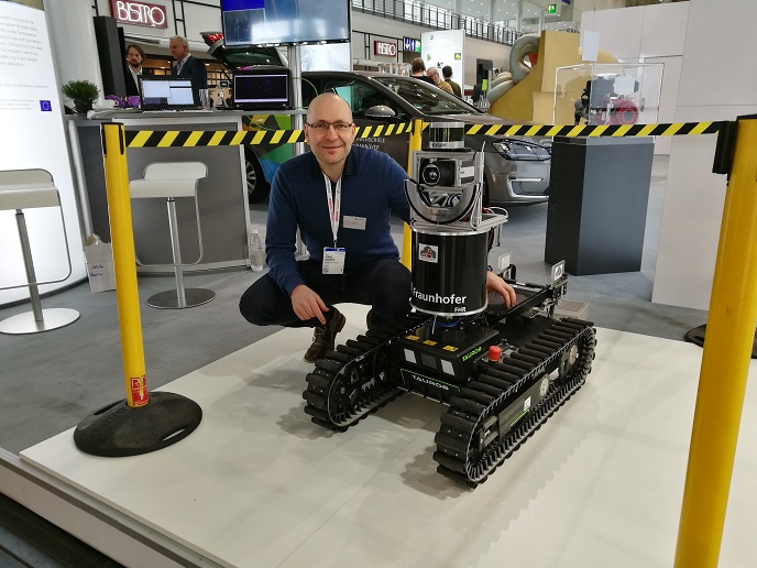
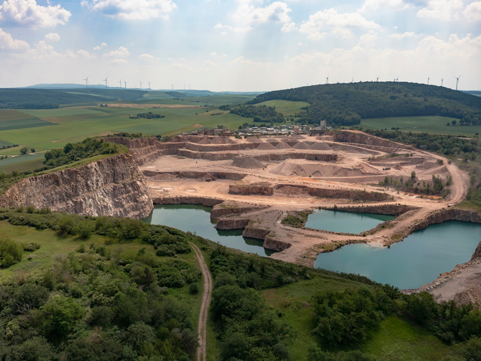
Creating accurate digital maps is an essential part of many heavy and environmental industries, but a lack of information about what lies under the ground often stymies these efforts. One solution is to deploy ground-penetrating radar(opens in new window) (GPR) to map the subsurface using electromagnetic signals. GPR can reveal items that are completely hidden at the surface, such as buried pipes and infrastructure, geological formations, water channels, and even items of archaeological interest(opens in new window). “Construction, real estate, engineering, exploration and monitoring of water resources, there are plenty of industries that seek information about what is underground,” explains SGPR project coordinator Mirosław Trześniowski. “Even in waste incineration there is a problem with big metal objects hidden in the trash.” The EU-funded SGPR project sought to develop a business plan for a next-generation ground-penetrating radar that advances the technology in important ways. Typically GPR uses pulsed radar technology(opens in new window) in the metre and decimetre wavelengths, recording the reflected signal as it bounces off hidden objects and boundary layers between substrates of different density. But GPR is imprecise, slow and expensive to use, and the results need to be interpreted by a trained surveyor.
Full colour vision
Spectral GPR (SGPR) technology works in a similar way but uses frequency-modulated continuous wave. Because materials respond differently across different frequencies, SGPR can reveal far more information and detail about what lies underneath the surveyor’s feet. “I was immediately in love with the idea, because it responds to the problems that my clients had,” notes Trześniowski, co-founder of the project host, SGPR.TECH. “We can actually see what’s underground by varying the frequency,” he continues. “Regular radar can’t see this. We call it full colour vision.” In addition, the broadband antennae used with SGPR are operating in broadband FM modulation, offering a signal to noise ratio improved by tens to hundreds of times for the same energy. SGPR can see tens of metres deep on a single watt, and up to hundreds of metres with more power, low frequencies and model soil conditions. SGPR.TECH has also developed a software suite to help interpret the data recorded by the frequency-modulated signal. The company plans to offer a surveying service while the technology matures, before shifting to an off-the-shelf model selling SGPR equipment supported by cloud-based software.
Partnership potential
The project was supported by the EU’s Horizon 2020 programme. “This helped us expand our work and start business development for the sensor,” says Trześniowski. SGPR.TECH has since attracted EUR 2.3 million in investment to bring their product to market. According to Trześniowski, the company plans to be service-ready within the next 6 months. Before then, SGPR.TECH plans to test and adjust the technology with potential partners, including an unnamed French construction giant. “They are very interested in the application of our technology, so that is our first end goal,” adds Trześniowski. He adds that a large company from Poland with interests in exploratory mining for aggregates is also keen to see the technology in action, and the company is actively seeking further investors. For the company focussed on seeing what lies below, things are looking up.