Drone plays lookout for sea rescue
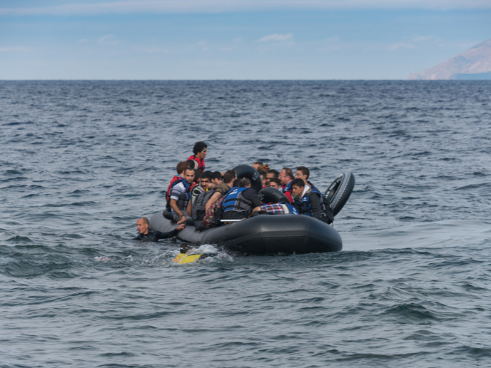
According to a European Political Strategy Centre report(opens in new window), over 630 000 irregular migrants and refugees reached Italy via the central Mediterranean as more than 13 000 people lost their lives between 2011 and 2016. Action by the EU helped save the lives of almost 760 000 people at sea, according to the 2019 ‘Progress report on the Implementation of the European Agenda on Migration’(opens in new window). The EU-funded SARA project set out to assist EU countries search for and rescue people lost at sea using cutting-edge drone technology and Earth observation data. Partners developed a semi-automated system created to detect people lost at sea, especially at night when alternative rescue systems such as helicopters are unable to operate safely.
Answering the needs of a migration crisis
“SARA was conceived in 2015 to answer a need requiring technological solutions to manage migration aspects that include surveillance as well as search and rescue operations,” says project coordinator Marco Nisi. “This meant assisting European countries in the Mediterranean to develop comprehensive architecture that balances efforts to assist people in need with efforts to secure its borders.” The team developed SARA as a solution to increase the probability of saving the lives of people lost as sea using a modular system. The researchers also developed SARA for search and rescue operations, for monitoring and surveillance after a disaster, and for border control to complement systems such as helicopters and fixed-wing drones.
A smart drone to the rescue
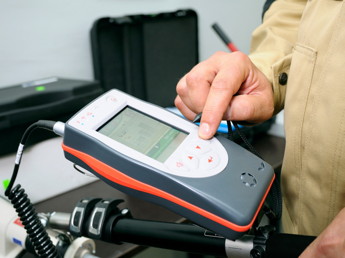
“The system uses Earth observation data to detect suspected trajectories of pontoons and supports search and rescue operations using a deployable drone tightly coupled with a ship through a cable,” remarks Nisi. “As soon as it is needed, the drone flies from its dedicated hanger on the ship and becomes a ‘virtual pylon’ that sends optical and thermal images to the vessel’s crew in real time.” The SARA team developed the drone to have auto-pilot capabilities of following the ship and hovering over targets by equipping it with two high-accuracy European Global Navigation Satellite Systems (EGNSS) receivers. The EGNSS is currently at the core of drone development(opens in new window) for projects such as SARA that make great use of high-performance navigation data of horizontal accuracy of below 10 cm and a vertical accuracy of below 10 cm. SARA engineered a complete end-to-end solution that can be used by many different operators such as coast guards, border guards, police forces, armed forces and other public organisations. The team developed their system to be continuous to be able to fly for many hours, easy to deploy for persistent aerial surveillance, able to have a ship detecting range of 12 nautical miles, and a high speed Ethernet connection as security against accidental and intentional attacks.
Roadmap to real-world operation
The SARA team held a workshop in February 2020 where they discussed a roadmap for the project moving forward. The researchers planned to have the SARA solution ready by the end of 2020 to be used in real operational scenarios such as for the National Institute of Oceanography and Applied Geophysics(opens in new window) and various COVID-19 mitigation measures.