Understanding how the elderly perceive cities can lead to more human-centred town planning
Walking is the most environmentally and economically sustainable way to get around cities. However, current urban development models focus mainly on economic and transportation activities, ignoring the way pedestrians choose to navigate their surroundings. The 2-year AgeCogCity project(opens in new window) with the support of the Marie Skłodowska-Curie Actions programme researched how older people visually perceive the urban environment and make choices about where to go. “Europe’s population is aging rapidly and we also have rapid urbanisation, so if we can make cities friendlier to older people it will help them to remain active and healthy,” says AgeCogCity researcher Asya Natapov, assistant professor of Urban Planning and Design at Loughborough University(opens in new window) in the United Kingdom. “It is well known that non-walkable, poorly planned urban environments are associated with physical inactivity and air pollution,” notes Natapov. Such environments are linked to chronic illnesses including heart diseases, diabetes, obesity, some cancers and poor mental health. “But we also believe a city that works for older people is one that would work for everybody,” she adds. The multidisciplinary project she led at University College London’s Centre for Advanced Spatial Analysis(opens in new window) at its Faculty of the Built Environment, together with the input of experimental psychologists and geoinformation scientists, helped develop a new tool for architects and planners that takes into account visual and spatial cognition to design better urban spaces.
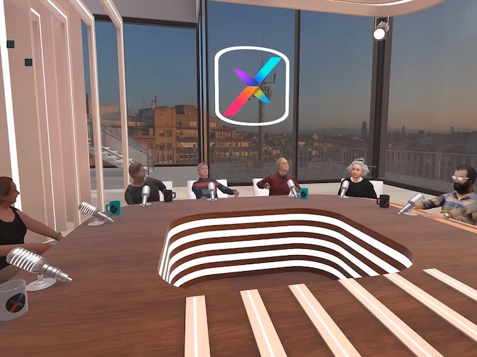
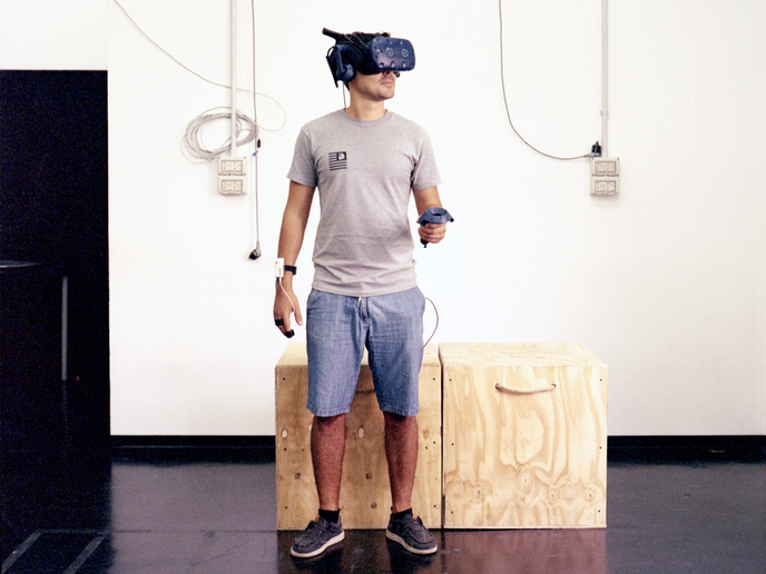
Virtual reality helps in understanding how pedestrians perceive
Pedestrian perception was researched using different urban environments created in virtual reality. In the experiments, subjects aged over 65 were assigned different tasks. “From this we know that, for instance, people tend to walk to a particular location when they see certain urban features, such as a restaurant, a shop and so on,” Natapov says. Previously, it was known that people tended to go to the major streets. “But our experiments show that route choice is highly dependent on their task and is more purposeful,” she observes. By translating this into quantitative ‘visibility measures’ and mapping the sequence of pedestrian decisions into a mathematically modelled network, simulation techniques can be used to predict where people will go, “based on the environment and what they see,” Natapov explains. The tool makes visibility connections and can plug in(opens in new window) to geographic information systems software which stores maps. Tools currently used by planners and architects do not take into account visual perception and how it affects human behaviour in urban areas.
Tool for better planning
Data from the experiments, which are still ongoing, will be used to calibrate the open-source software tool developed by the project for architects or designers. This will enable them “to predict where the next place should be created and what kind of place it should be,” she says. “Let’s say we have population growth in a city and want to predict what new activities are going to appear in the city. Using the tool, we can create a simulation for predicting the growth of different functions and different activities,” explains Natapov, who initially trained as an architect. “It makes for a better balance of cognitive and behavioural considerations and can be adapted to different types of city,” she concludes, adding the tool can also be modified according to the proportion of a city’s elderly population to achieve different human-friendly outcomes.