Data-driven insights to prepare for rising sea levels


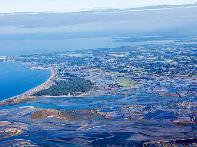
Coastal flooding driven by climate change has the potential to wreak havoc on the many cities, businesses and infrastructure located close to Europe’s shorelines or in low-lying areas, posing a major risk to both economic activity and regional competitiveness. The European Environment Agency estimates(opens in new window) that by 2100 coastal flooding in Europe could affect 3.9 million people and cost EUR 1 trillion each year. “As we are committed to decades and centuries of sea level rise, it is important to understand what is at risk,” says Gonéri Le Cozannet, senior researcher at the French Geological Survey(opens in new window) (BRGM). The CoCliCo(opens in new window) project is helping to deliver that understanding.
An open-source web platform for coastal risk management
CoCliCo is an open-source web platform(opens in new window) designed to improve decision-making on coastal risk management and adaptation in Europe. “Built for policymakers, planners, infrastructure managers and researchers, CoCliCo provides high-resolution sea level rise projections, flood hazard assessments, exposure analysis, and cost-benefit comparisons of adaptation strategies,” explains Le Cozannet, who served as the project coordinator. All information is provided in an intuitive map-based interface and backed by open, authoritative datasets. The platform also features ready-made user stories to help visualise impacts and solutions. But what really sets the platform apart is its ability to translate complex coastal risk data into actionable insights that support faster, better-informed decisions across public and private actors. “Users can interrogate location-specific conditions, test adaptation pathways, and assess implications for planning and investment choices,” notes Le Cozannet.
A climate service that empowers climate-smart decisions
The project’s sea level projections, flood maps based on future socio-economic and climate scenarios, and data on infrastructure risk along coastal zones are increasingly being used by decision makers. According to Le Cozannet, this information can support coastal risk prevention and adaptation policies, including those related to the EU Floods Directive(opens in new window). “Whether you’re working on national flood directives, designing resilient urban plans or advising on climate policy, CoCliCo can be useful for you,” he remarks. For instance, the platform can help identify when and where adapting infrastructure is a viable and cost-effective option. This is particularly important for critical coastal assets, where climate risks can affect investment decisions, the continuity of economic activity and the competitiveness of coastal regions. “Being able to adapt coastal ports and infrastructure in anticipation of rising sea levels is essential to supporting Europe’s long-term climate resilience,” says Le Cozannet. The project team is currently working to advance the platform from demonstrator status into a fully operational climate service. Thanks to the support of project partner Mercator Ocean(opens in new window), the platform is also being integrated into the Copernicus(opens in new window) Marine Service’s Digital Twin Ocean(opens in new window), helping to ensure that its coastal risk data and other functionalities remain accessible beyond CoCliCo’s lifetime. The CoCliCo team has published a policy brief(opens in new window) outlining its vision for a European Coastal Climate Service that would provide sustained access to high-quality coastal risk information and support long-term adaptation decisions going beyond incremental measures. “CoCliCo is a case study in how scientific data can help drive climate-smart decision-making and adaptation, ultimately strengthening European competitiveness and future-proofing its prosperity,” concludes Le Cozannet.