Democratising modelling to boost confidence across a wider community
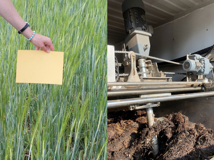
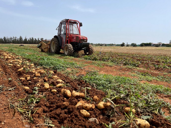
Soil erosion is one of Europe’s most widespread forms of land degradation, yet it remains a ‘silent crisis’ because impacts are slow, continuous and often hidden until it’s too late. Unlike water, we rarely think of soil as a resource that is ‘consumed’ when we produce food, but as with all natural resources, soil quality is not infinite: it needs fostering and protection. But where are the areas that are most degraded and how can we estimate what the future holds in the face of climate change and the demands on food production? Addressing this problem requires modelling tools that are not only accurate but accessible to users of all technical backgrounds. For non-technical users, models often appear as a ‘black box’, creating a gap between modellers and decision makers that hinders effective communication, collaboration and trust in the model’s outcomes. Which is where the iMPACt-erosion(opens in new window) project, supported by the Marie Skłodowska-Curie Actions(opens in new window) programme, comes in. “To bridge this gap, we propose an approach to democratise hydrological and soil erosion modelling that emphasises learning through interaction, or learning-by-doing,” says the project’s principal investigator, Andres Peñuela(opens in new window), based at the University of Cordoba(opens in new window) in Spain. So, the project set out to identify the processes that can control soil erosion along with the vulnerable areas and the periods of vulnerability, to define targeted and effective mitigation strategies until 2100.
From root exposure to fallout radionuclides – environmental benchmarking makes the models robust
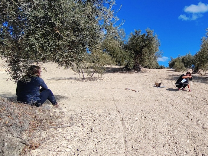
Researchers drew on a variety of indicators to firm up their modelling. They looked at root exposure over time and the microscopic particles that were dispersed during atomic bomb testing in the 1960s, which they used as benchmarks against which to test their modelling accuracy. Root exposure is a clear symptom of land degradation; it also serves as a vital historical archive. By measuring these tree mounds – essentially the height difference between the soil level when the tree was first planted and the ground today – the team can reconstruct how much soil has vanished over several decades. This was complemented by the study of fallout radionuclides (FRNs) dispersed globally during atomic bomb testing in the early 1960s that now act as a permanent scientific tracer in the earth. By measuring and comparing the concentration of these particles, iMPACt-erosion can estimate long-term erosion rates dating back to the mid 20th century. “These historical insights do more than just record past degradation; they reveal the true cost of agricultural intensification over the last several decades. Moreover, this data serves as a vital ‘reality check’ that we use to evaluate and fine-tune our mathematical models,” explains Peñuela. “We know they accurately represent the unique environmental processes of a specific location. Ultimately, this rigor is what transforms these models from simple retrospective tools into reliable, trustworthy guides for predicting future environmental trends.”
Democratising modelling through accessible explanation
The project embraces the idea of sharing their tools and findings with as wide an audience as possible. The team has made available a toolbox(opens in new window) to educate and guide users through essential modelling steps. Peñuela feels the integration of interactive visualisation transforms the modelling process into an educational and exploratory journey. “The best thing is that this is replicable. This model development approach offers the potential to be applied in various domains, demystifying the concept of modelling in any area to which it is applied. When people can see how the models work and play with them, they can better understand and trust their results – it is empowering those who may otherwise be sceptical of what the models tell us.” The team will also deliver iMPACT-explore(opens in new window), a set of Notebooks explaining and implementing the necessary tasks to simulate and explore a soil erosion system under different conditions and scenarios, to evaluate the efficiency of mitigation strategies and identify the most influential factors.