Improved modelling of tectonic shifts
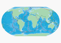
Tectonics and mantle flow are the two major driving forces of Earth's topography (surface variations). While current models are fairly accurate, there are some places where the topography predicted by the models differs from reality. The EU-funded project 'The Andes-Nazca dynamic topography experiment' (ANDYN) aimed to improve models of mantle dynamics to better reflect the influence of geological features like basins and plateaus. Researchers used the Andes (South America) to test these models, in areas where there are mismatches between modelled topography and the real landscape. ANDYN produced three new 3D mantle flow models that incorporate geological data. One focused on more recent times (5.3 million years ago to present), while the other two focused on the Cenozoic (66 million years ago to present) and pre-Cenozoic periods. The project showed that since the beginning of the Cenozoic era, movement of tectonic plates alone did not account for the topography seen in the Andes. These results suggest that long-held assumptions about tectonics in the region are wrong. Interestingly, the results of the present-day model agree very closely with the observed topography of the South American mountains and plains. The only notable disagreement was off the coast of Argentina, where a very deep basin is found. The work of ANDYN has improved current knowledge of regions of recent tectonic movement, such as the Andes. In general, this will contribute to researchers' understanding of the how the Earth's surface changes over time.