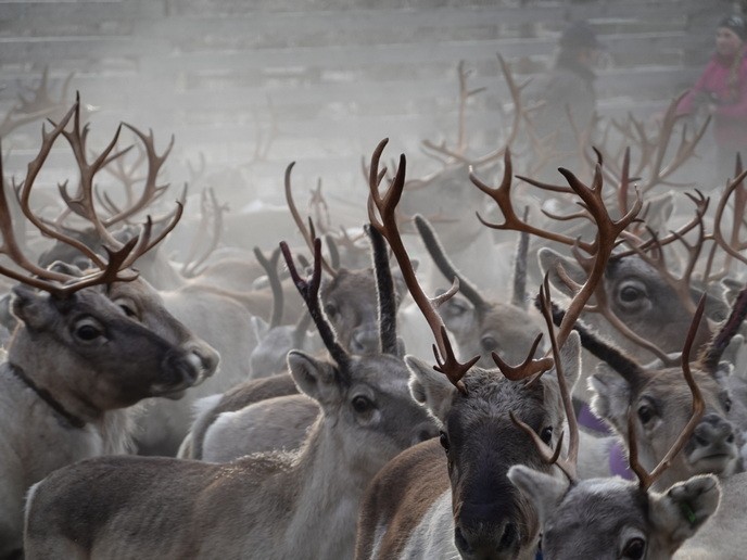
Arctic glaciers melt, sea-level on the rise

Field observations from MGICs are scarce. This paucity of data puts severe limitations on our understanding of their behaviour and presents great open challenges for estimating and predicting their current and future contribution to sea level rise using numerical models. To overcome these limitations, an alternative approach was explored within the EU-funded project MAGICS (Monitoring Arctic glaciers and icecaps from space). Researchers combined data from several sources to improve our knowledge of the Earth's ice-covered regions. The study was based on an extensive collection of ground measurements and data from the latest European Space Agency (ESA) and National Aeronautics and Space Administration (NASA) satellites, and climate models. Scientists developed new methods for the processing of data from CryoSat-2, the Ice, Cloud and land Elevation Satellite (ICESat), and Gravity Recovery and Climate Experiment (GRACE) missions. The software prepared for MAGICS estimated surface changes with higher accuracy than existing algorithms, which led to the identification of sudden and rapid ice loss in a previously stable region of the Antarctic ice sheet. The ice mass changes of the Arctic MGICs obtained from the gravimetry and altimetry observations were compared to one another. A very good agreement was found between the two independent methods, giving a high rate of confidence in the results. It was found that the contribution of the Arctic glaciers to sea level rise increased slightly between 2010 and 2014 compared to the first part of this century (2003-2009). Furthermore, the altimetry data produced by the MAGICS project have resulted in a fourfold increase in coverage, thereby providing observations of the Arctic MGICs with an unprecedented level of detail. Anthropogenic global warming, as well as multi-year fluctuations in the atmosphere and ocean currents, may be the source of the observed ice loss. The findings so far have been presented at international conferences and described in peer-reviewed publications in renowned journals such as Science and Nature Geoscience. The findings of the MAGICS project suggest there may be enough satellite data to detect mass loss of glaciers and ice sheets as a whole with some level of confidence. On the other hand, scientists underscore the need for continuous monitoring of the ice sheets to better predict future melting and the corresponding sea-level rise.