Help for firefighters with autonomous drones
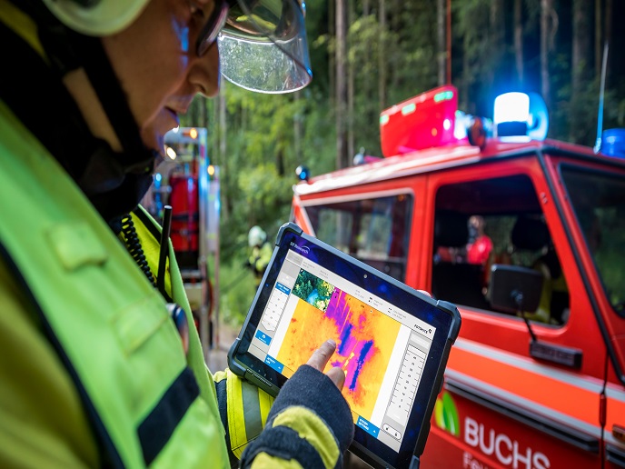
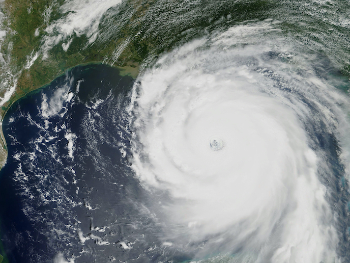
A better data-informed first responder results in a better-served community. It is crucial for public safety teams to access information on where fires flare up, where survivors are, and how a response is progressing over time in a simple and straightforward manner. To help firefighters and public safety teams visualise and measure their emergency response scenes from above and to respond safely and efficiently, the EU-funded Fotokite(opens in new window) project developed a safe, reliable and GPS-independent tool.
Smarter than a traditional drone
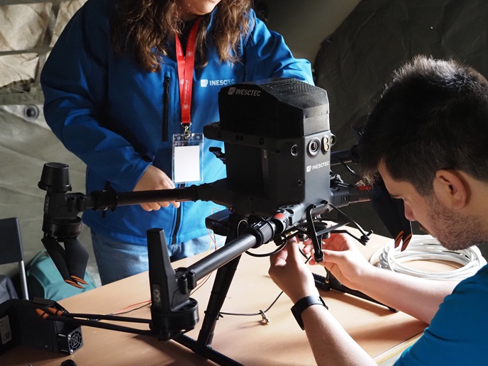
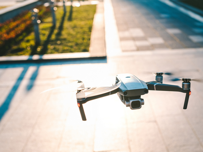
Public safety teams have identified the high value that aerial intelligence can provide to their emergency response operations for years. However, most teams are severely limited to accessing these valuable perspectives because of technological and safety barriers. This is because free-flying drones require skilled piloting, regular battery replacement, and their performance is compromised in inclement weather conditions. Not surprisingly, public safety teams require solutions that work day and night, rain or shine, and without distraction or resource-drain from their life-saving work at hand. Fotokite focused on solving these key limitations. They developed systems to fly 100 % autonomously without the need for piloting, launching and landing. This is important because less than 1 % of all first responders are trained drone pilots. Additionally, Fotokite Sigma systems are designed and built to work in adverse weather conditions when other drones need to land. They also deliver data and power over their active tether, which results in secure data delivery and continuous flight duration for hours and even days, if needed.
Adding the final touch
After having received the EU support for SMEs for the second time in a row, Fotokite focused on accelerating the development and availability of their technology. The venture capital financed company backed by MSA Safety Inc., Swisscanto Invest, Credit Suisse Entrepreneur Capital, Sony Corporation, Qualcomm Ventures and 360 Capital Partners managed to finalise their product. “With earlier work, we had shown that the persistent and autonomous aerial information we provided regularly helped public safety teams size up and inform their decisions at emergency response scenes,” explains project coordinator Chris McCall. Now the time had come for a solid product-market fit and the launch of a vehicle-mounted system, offering aerial situational awareness and sharing real-time intelligence, all with the single push of a button.
Innovation attracts allies
Fact remains that not so many major players in the market are truly dedicated to challenging the status quo by enabling digitally connected, intelligence-augmented first responders. “We feel fortunate to have developed the partnerships we have with these industry leaders, where we get to push the boundaries and serve the heroes in the firefighting and first responder community together,” confesses McCall. It turns out now that the solution has also caught the interest of parallel security, infrastructure and commercial markets. The team’s current initiatives involve building more intelligence layers into the Fotokite platform while maintaining the simplicity of autonomous flight and real-time data streaming. Automatically tracking first responders throughout a multi-hour response, integrating biometric data and digitally reconstructing scenes from multiple perspectives are all efforts that will enhance mission-critical intelligence.