AI flight plans ensure drones on right course
Unmanned aerial vehicles – or drones – offer critical support for emergency services, as well as numerous commercial sectors. They are increasingly used, for example, to provide backup for search and rescue operations, and to tackle forest fires. Farmers can use them to monitor crops, and drones have also been used to inspect the state of infrastructure, such as bridges and power lines. Innovative applications in the future could include the delivery of goods, and even the movement of people.
Ensuring drone safety near sensitive sites
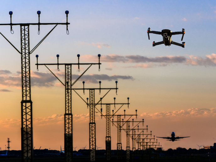
As more drones take to the sky, a key challenge is ensuring safety, especially near sensitive sites such as airports. Where there is deemed to be a potential risk, operators are obliged to conduct a Specific Operations Risk Assessment(opens in new window) (SORA). “SORA establishes the levels of risk of a flight plan, based on aspects such as drone features, ground conditions and airspace involved in the flight,” explains FlightAI(opens in new window) project partner Marco Ducci from EuroUSC Italia(opens in new window) in Italy. “Compiling this assessment however is expertise-intensive and time-consuming. There is therefore a need to make this authorisation procedure easier to implement, to encourage more safe flights.”
Integrating AI into online assessments
The EU-funded FlightAI project sought to support this aim, by integrating artificial intelligence (AI) technology into an existing web service for conducting SORA assessments, called SAMWISE(opens in new window). While this web service has made the authorisation process easier, it still requires the manual gathering of large amounts of information. The AI technology applied in FlightAI had been developed in a previous EU-funded project, called GOAL-Robots. The FlightAI project team recognised that this GOAL-Robots technology could be used in SAMWISE to support semi-autonomous searches for flight plan solutions, fulfilling SORA requirements more efficiently. “Our aim was to develop and validate a prototype software product called FlightAI,” says FlightAI project coordinator Gianluca Baldassarre from the National Research Council(opens in new window) in Italy. “We also wanted to refine a user interface that clearly indicates requirements such as flight start/arrival points, drone availability and geographic characteristics of the territory and airspace to be flown through.”
Strengthening automated authorisation procedures
The FlightAI project succeeded in integrating the prototype software into SAMWISE, enabling users to not only speed up the authorisation procedure but also update flight routes automatically when needed. The project team was also able to improve the overall online service. “The existing system was not fast enough to allow for AI optimisation, so we updated it,” adds Baldassarre. The integrated system was tested through the wide stakeholder network of the consortium. Initial feedback from users has been positive, and has helped to identify next steps moving forward. “We now need to finish the reimplementation of the web interface, and make the AI search algorithm faster,” says Baldassarre. “We are currently looking for further funding in order to support this.” This will pave the way towards eventual commercialisation of the service, helping to ensure that Europe’s drone market is well-regulated and at the cutting edge when it comes to ensuring safety.


