Steps towards a smaller aviation footprint

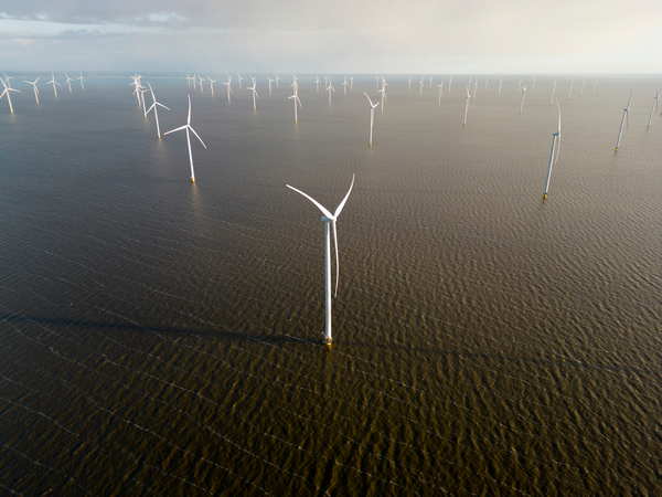
In February 2023, the EU-funded REFMAP(opens in new window) project embarked on a mission to reduce the environmental impact of air travel for both airlines and drone systems. Since then, led by KTH Royal Institute of Technology, Sweden, the REFMAP partners have been exploring a number of strategies to make aviation sustainable. REFMAP’s aim is to find solutions that will allow airliners to operate in an environment-neutral manner and drones to share the skies with conventional aircraft, as well as airlines to use fuels and optimal flight paths that minimise climate impact and air pollution. The initial results are promising.
Looking at wind and noise
REFMAP partner University of Salford, the United Kingdom, has completed the first in a series of experiments planned to gain insight into how humans respond to drone noise caused by different types of drones and drone flight operations. The ultimate goal is to create a model that will be able to predict the disturbance caused by drone noise and help optimise drone trajectories in order to reduce the impact on communities. Project partners Delft University of Technology in the Netherlands and AgentFly Technologies in Czechia are already planning an experimental campaign in Czechia to measure the noise emitted by a wide range of drone operations. This is a key step in the creation of noise models that will be used to simulate noise conditions in multiple scenarios involving different drone types. The Dutch and Czech partners have also found a way to predict the wind around realistic urban areas using a low-fidelity computational fluid dynamics model. This achievement allows them to explore and optimise drone trajectories. REFMAP is also making use of high-fidelity simulations to accurately predict wind turbulence around buildings. This makes it possible to provide better descriptions of turbulence phenomena around buildings and to use the results to train the drone trajectory optimisation tool. The project recently announced a new OpenFOAM(opens in new window) utility that computes directionally averaged risk metrics for Reynolds-averaged Navier–Stokes equations, mainly used to describe turbulent flows. The utility “can compute the requisite averages and statistics and shrink the analysis time from hours to 200 seconds compared to the Python utilities,” according to a REFMAP news item(opens in new window). The code is freely available at https://doi.org/10.5281/zenodo.11207890(opens in new window).
Looking at emissions
KTH Royal Institute of Technology has adapted a traditional fuel emissions method called the Boeing fuel flow method 2 so that it takes into account sustainable aviation fuels (SAFs) at different blending ratios. The adapted method is in its final phase of implementation, during which efforts are being made to increase SAF emission prediction accuracy. Plans are underway to present a detailed analysis of the feasibility and potential of using climate-friendly flight planning to lessen the aviation sector’s climate impact at REFMAP project partner Charles III University of Madrid (UC3M), Spain. UC3M researchers María Cerezo and Manuel Soler comment in a ‘EurekAlert!’ news release(opens in new window): “The results obtained so far show that the effectiveness of climate-optimised route planning in mitigating climate impact is closely related to daily weather conditions, thus acting as a crucial indicator.” The REFMAP (Reducing Environmental Footprint through transformative Multi-scale Aviation Planning) project ends in 2026. For more information, please see: REFMAP project website(opens in new window)