Using satellite data to find endangered cultural heritage
Climate change, erosion, urbanisation, agricultural activity, conflict and political instability all threaten our cultural heritage. “All these factors impact the preservation of traditional and sustainable land-use strategies, particularly in semi-arid lands, leaving less visible archaeological and landscape features unmapped and thus unprotected,” says Sayantani Neogi, a researcher the Catalan Institute of Classical Archaeology(opens in new window) (ICAC). With the support of the EU-funded SIGNATURE(opens in new window) project, Neogi and her colleagues at ICAC set out to investigate the long-term settlement and land-use dynamics that shaped the cultural soilscapes of the Levant. “Our goal was to reveal new archaeological sites that have been obscured by recent agricultural encroachment and abrupt land disturbances,” adds Neogi. Soilscape refers to the overall cultural footprints, soil composition and geomorphological characteristics that have shaped landscapes over time.
Creating a record of endangered archaeological sites
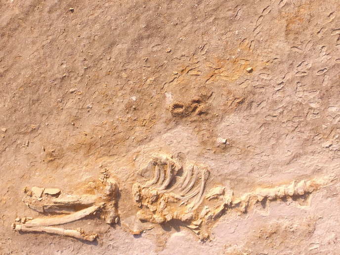
Using a combination of Earth Observation(opens in new window) data, geoarchaeological analysis of anthropogenic soils, and high-performance computational workflows, the project with support from the Marie Skłodowska-Curie Actions(opens in new window) programme looked at the endangered cultural soilscapes of post-conflict Levant. In particular, it looked to identify and characterise archaeological remains in the fertile alluvial plains of Lebanon’s Bekaa Valley, as well as Jordan’s River Valley. “By assessing satellite-based legacy data, which has provided diachronic insights into past cultural landscapes and recent transformations in both regions, we were able to create an essential record of those archaeological locations documented before periods of conflict,” explains Neogi. For instance, by integrating declassified satellite imagery from such historical satellite programmes as CORONA and HEGAXON with multi-temporal and multi-source modern satellite missions such as Landsat and Sentinel, researchers could identify and characterise hundreds of mound-like archaeological features. Furthermore, this data has proven valuable for addressing knowledge biases, including site inaccuracies and the challenges of evaluating the visibility of heavily eroded mounds.
Advancing the geoarchaeological characterisation of anthropogenic soils
Thanks to its innovative use of archaeological legacy data, historical geography, geostatistical computing, programming, and geographic information system mapping, the project accurately detected, mapped and predicted the location of numerous vulnerable archaeological sites and landforms. “I am especially proud of the satellite and ground data we were able to collect, which will help in the geoarchaeological characterisation of anthropogenic soils in the Levant,” concludes Neogi. “Nothing of this sort has been done before as systematic and integrated research.” This data can also be used to further develop and validate machine-learning workflows, ensuring robust, policy-relevant insights for the sustainable management and preservation of fragile cultural heritage assets. Moreover, the project’s work has opened the door to new collaborations in the broader heritage-at-risk sector. For example, Neogi recently joined the Maritime Endangered Archaeology in the Middle East and North Africa project(opens in new window) as a research fellow at the University of Southampton.