Comparing Chlorophyll-a in-situ data
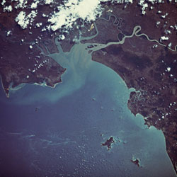
Human intervention such as beach nourishment or jetty constructions is set up by coastal management to protect the nature of the coast as well as to preserve its economic value. Thus, innovative tools and methods have been designed for generating maps of the bathymetry and associated environmental parameters in order to analyse the coastal status and the processes involved. The OROMA project, which consists of a team of six developers and four end users, has converted scientific based knowledge into actual thematic data disseminated through an electronic network. As part of this effort, field experiments were carried out in the area of the Gulf of Gdansk near the mouth of the Vistula river. During the field experiments in this area chlorophyll-a in-situ data was collected so that it could be compared with data taken from satellite instruments. The chlorophyll-a concentration was checked at fixed points using the spectrophotometric method. Additionally, the fluorometric method was selected in order to provide uninterrupted visibility of the parameter and to allow mapping of chlorophyll-a horizontal distribution. Following this, all fluorometric data were adjusted using linear regression against spectrophometric measurements of samples from a depth of 2.5m. The images gathered from these experiments were then reviewed for match-up comparisons with field measurements and some of them were chosen for additional examination because of quality or cloud cover. The chlorophyll-a data can be retrieved from satellite images by request and can be used for additional environmental studies. The methods and instruments applied in field measurements can be useful in future research.