Digital intelligence and forensics prevent biodiversity loss
What if biodiversity loss could be detected before it becomes visible on the ground? Conservationists are confronted with fragmented data, delayed responses and growing pressures on ecosystems – challenges that demand preventing damage instead of reacting to it. The EU-funded NATURE-FIRST(opens in new window) project set out to make biodiversity monitoring near real-time, detect changes at an early stage and translate predictions into timely, actionable interventions. The project combines remote sensing technologies with environmental forensics; a discipline focused on analysing evidence to prevent wildlife and environmental crime. These methods are brought together through a conservation technology platform supporting data collection, monitoring, insights, analysis and reporting. “The platform has enabled nature conservation practitioners to centralise and align data in one system, integrate information from multiple sources and conduct more effective analyses and risk assessments, ultimately supporting better-informed and more timely management decisions,” says project coordinator Jan-Kees Schakel. NATURE-FIRST delivered results across four nature reserves in four countries: Stara Planina Mountain in Bulgaria, Ancares-Courel in Spain, the Danube Delta in Romania and the Maramures Transboundary Area in Romania and Ukraine.
Turning biodiversity data into predictive intelligence
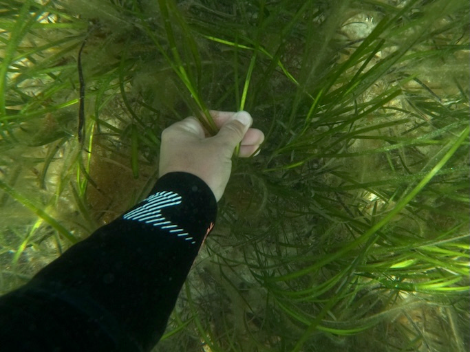
The platform integrates field data from multiple sources, including data collection apps, animal trackers, camera traps and open-source datasets. Using AI, it provides real-time monitoring, advanced analysis and reporting. One of the project’s most significant innovations is the use of digital twins(opens in new window): data-driven virtual representations of species or ecosystems that are continuously updated as new information becomes available. In the Danube Delta, a digital twin developed for sturgeons improves predictions of spawning periods, allowing stakeholders to anticipate poaching risks or habitat disturbances and strengthen protection measures when and where they are most needed. In Bulgaria, a digital twin was explored to forecast potential human-bear conflicts. While not fully implemented in Stara Planina, the basic models were adapted to other field sites, supporting preventive action for decision-makers managing human-wildlife issues.
Insights from European reserves
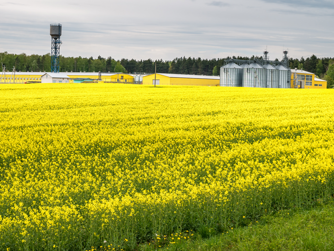
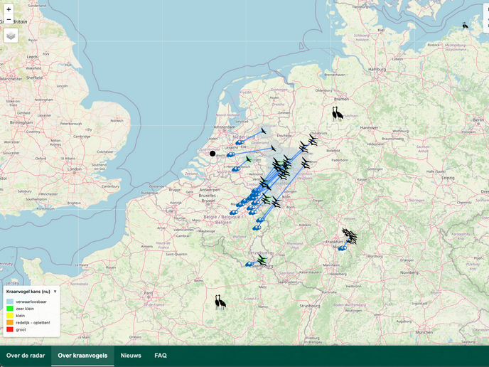
Across the project’s demonstration areas, the platform generated new insights into ecosystem change. In Ukraine, it improved understanding of large carnivore movements and behaviour, identifying drivers of human-wildlife conflicts, particularly involving farmers and beekeepers. In Romania, it clarified the dynamics and seasonality of bear movements, improving patrolling efforts in sensitive areas. In Bulgaria, ecological and anthropogenic data enabled early detection of vegetation trends and disturbances. In Spain, continuous automated habitat mapping highlighted the impact of rural depopulation, abandonment of agrarian activities, changes in forestry practices and forest fires, while also revealing the recovery of brown bear breeding in the region.
From evidence to action
Environmental forensics was another pillar of NATURE-FIRST. By combining ecological data with forensic methods, the project helps transform field observations into legally valid evidence. Targeted training programmes(opens in new window) equipped rangers and conservation staff with criminal investigation skills, strengthening deterrence, reducing enforcement costs and supporting compliance with EU environmental regulations. The project also showed that digital tools succeed when grounded in local knowledge and supported by training, trust and clear benefits for stakeholders. As Schakel notes, the platform is “highly flexible, adaptable and works with any ecosystem, in any region within and beyond Europe, with any species.” Partners are now working to integrate these predictive tools into conservation management across Europe, expanding them to new regions, ecosystems and organisations.