Mapping the way for indigenous societies
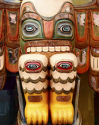
Indigenous societies have experienced transnationalisation, or globalisation, for decades. Thus, a better understanding of indigenous people's struggle for cultural and political rights according to territorial claims is needed. 'Crossing scales: A geographical analysis of the transnationalization of indigenous mapping' (INDIMAP) was an EU-funded project that provided a geographical analysis of the mapping used for indigenous populations. The research was based on qualitative methods via interviews and participant observations. It also involved an analysis of the political, cultural and technical processes tied to the use of mapping. The project scope covered diversity between north-south indigenous societies, consequently focusing on Bolivia and Canada. The two are in sharp contrast. Indigenous people in Canada paved the way, having used maps since the 1960s. This allowed a study of long-term impacts. Bolivia differs with respect to the recent political changes taking place in the country and thus can be studied as a mapping process in the making. Research on mapping in Bolivia focused on mural maps and atlases of territories in the Bolivian Andes. The maps pioneered the challenge of representing national space while simultaneously proving how complex mapping can be in such territories in terms of geopolitical and social implications. The main focus for the research in Quebec, Canada was implementing collaborative and intercultural methodologies on hydroelectric dams from an Innu perspective. An elaborate socio-environmental narrative was used to formulate the concept and objectives of the study. This led to a collaborative investigation to examine the impact of the dams. Although the two sites vary significantly, the results of both contribute to a clearer understanding of the role of mapping in the development of indigenous territorial claims. Beyond that, how ideas generate and move in contrast to prior set cultural and political bases provides an important topic for further investigation.