Exploiting EU’s Earth observation system to deliver new services for the agricultural sector
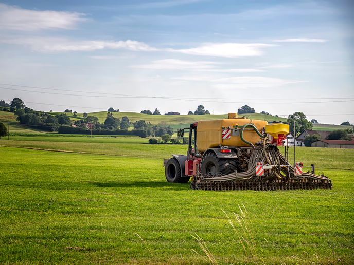
As the EU’s Earth observation programme, Copernicus(opens in new window) provides a vast amount of information to help service providers, public authorities and other international organisations improve the quality of life for European citizens. “However, there’s still much potential for additional, more specific new services for agricultural monitoring by taking advantage of the data obtained from Copernicus’ set of dedicated satellites called Sentinel,” says Jose Moreno, coordinator of the EU-funded SENSAGRI(opens in new window) project. The SENSAGRI team developed and delivered mature prototype land services that can be integrated into the operational processing chains of Copernicus’ services. “We offer innovative products such as green/senescent leaf area index, tillage change, irrigation event detection and early crop maps that aren’t yet available under the current Copernicus services umbrella,” notes Moreno. These new products contain information never before available on a regular basis for agricultural services. “Some of the products, and their combined use, have demonstrated tremendous potential as a foundation for the common agricultural policy’s monitoring procedures.”
Making the most of optical and radar measurements for new core services
“All products represent improvements with respect to current and incoming Copernicus land services, either in attained accuracy, spatial/temporal resolution or in the statistical information provided at the parcel level for individual management units,” explains Moreno. Optical and microwave radar sensors map crop types separately. If used together, both measurements can generate more robust, accurate, frequently updated and comprehensive crop maps. The same is true when dealing with crop status, health and stresses. Experimental studies demonstrate that combining optical and radar data can boost monitoring capabilities. The key innovation for the new products comes from optimally exploiting different satellite data time series, in particular the synergy between optical and radar sensors. This allows gap filling when clouds are present, and it improves time series analysis when different input satellite data are combined to enhance temporal monitoring and better detect quick changes in vegetation dynamics.
Novel suite of prototype agricultural monitoring services
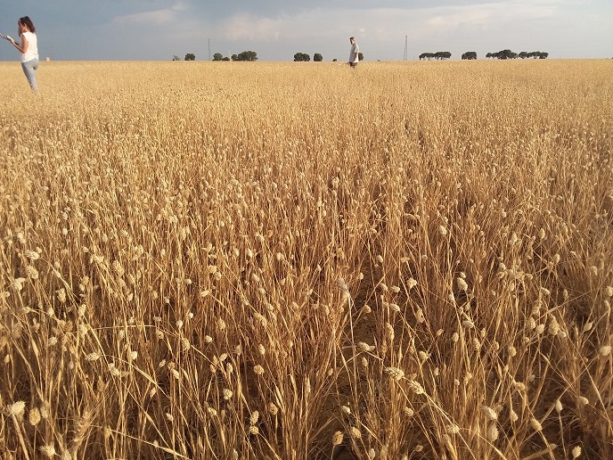
Project partners successfully validated the products and services in agricultural test sites in Spain, France, Italy and Poland that are representative of European crop diversity. This comprehensive set of products is publicly available and can be exploited by potential users. The products are accessible via a web-based geographical information system(opens in new window). “SENSAGRI overcame the limitations of current Copernicus products for agricultural applications that are often unsuitable for many European agricultural areas,” concludes Moreno. These limitations are the result of coarse spatial resolution, low temporal frequency, or the mismatch between delivery time and the period when such products are more beneficial to stakeholders. Ultimately, the proposed services will provide high spatial resolution agricultural information that’s suitable for field-scale monitoring applications throughout Europe. The services could potentially feed a wide variety of information into decision support systems that are operated by either public or private organisations, serving as a basis for new downstream Copernicus services in the agribusiness sector.