Making Earth observation data more precise and accessible to all
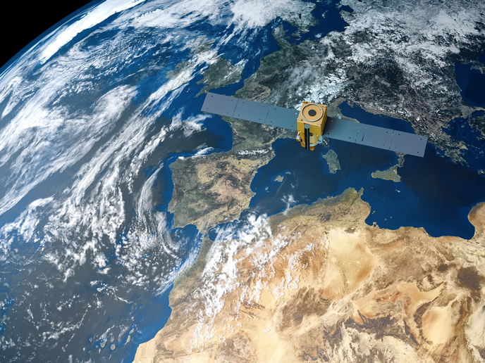
As the effects of climate change grow more visible and pressing, the need for innovative solutions to monitor, understand and mitigate them is more critical than ever. Earth observation data, collected by satellites orbiting our planet, are a crucial resource in this battle. They offer invaluable insights into the changing patterns of our environment – from deforestation to melting ice caps and rising sea levels. However, despite its potential, Earth observation encounters notable hurdles, such as limited resolution, accessibility and interpretability. The EU-funded EIFFEL(opens in new window) project is leveraging advanced technologies to improve the quality of Earth observation data and make it more accessible and applicable for everyone. “EIFFEL’s objectives revolve around enhancing the spatial and temporal resolution of Earth observation data, developing innovative data fusion and augmentation techniques, and employing explainable AI to generate tangible indicators of climate change impacts,” notes Angelos Amditis, R&D Director of the Institute of Communication & Computer Systems (ICCS) and project coordinator.
Breakthroughs in Earth data analysis and application
To achieve their objectives, researchers have been working on the development of new stochastic methods to make time-series data sets more detailed and of higher quality. They have also been developing super-resolution data fusion techniques to improve how clear and precise the images obtained from space are. The team has already put this improved data to the test in real-world scenarios. “To this end, we have chosen five different pilot areas to focus on, each highlighting a unique aspect of climate change and environmental monitoring. The goal has been to validate the new tools and methods that could really make a difference,” explains Amditis. Another key aspect of EIFFEL has been the creation of a community around these efforts. By engaging closely with key stakeholders – public authorities, research institutions and non-governmental organisations – EIFFEL ensures that its outputs meet user needs and are readily applicable to real-world environmental challenges.
Unveiling the benefits of Earth observation data to all
EIFFEL aims to enhance the resolution and accessibility of climate data to better serve policymakers, researchers and other stakeholders engaged in climate action and sustainability. A practical example of this is the application used by city planners in urban heat island management. By leveraging EIFFEL’s high-resolution climate data services, city planners can map urban heat islands with greater accuracy – identify vulnerable populations and implement targeted interventions such as green roofing or increased vegetation areas to mitigate heat effects. City planners use the advanced data processing capabilities of the EIFFEL suite, including temporal and spatial augmentation tools that enable them to extract, process and analyse data at finer scales. This allows for precise planning and impactful policymaking, ensuring that interventions are based on the latest and most detailed data available. Moreover, the integration of EIFFEL’s data with local government systems facilitates ongoing monitoring and adaptation strategies, ensuring that data-driven approaches to urban planning remain central in efforts to adapt to and mitigate climate change effects. “As we navigate through the complexities of climate change, EIFFEL stands as a beacon of innovation, harnessing the power of Earth observation and advanced technologies not only to enhance our understanding but also empower decisive action towards a sustainable future,” concludes Amditis.