Smart farming applications for more sustainable and efficient agriculture

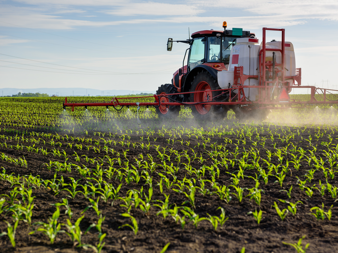
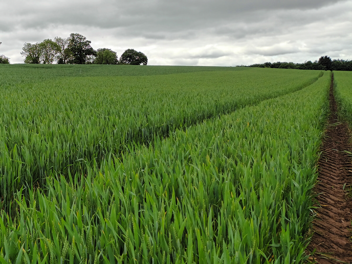
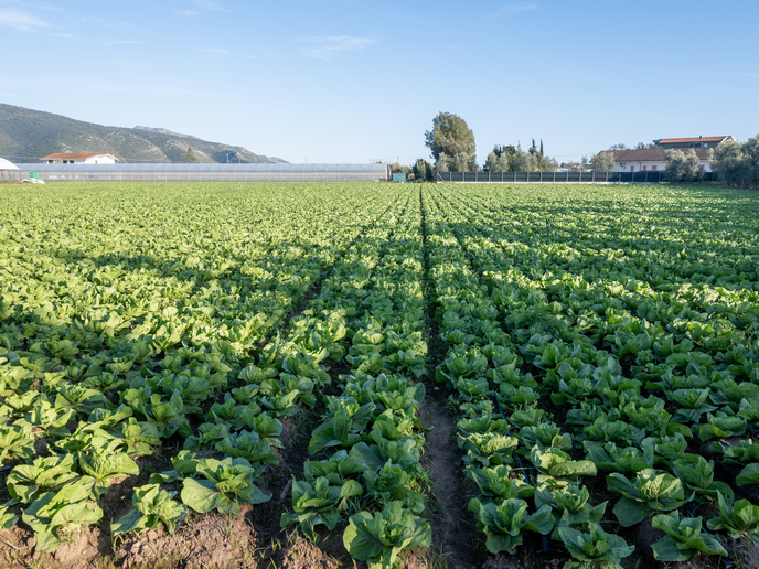
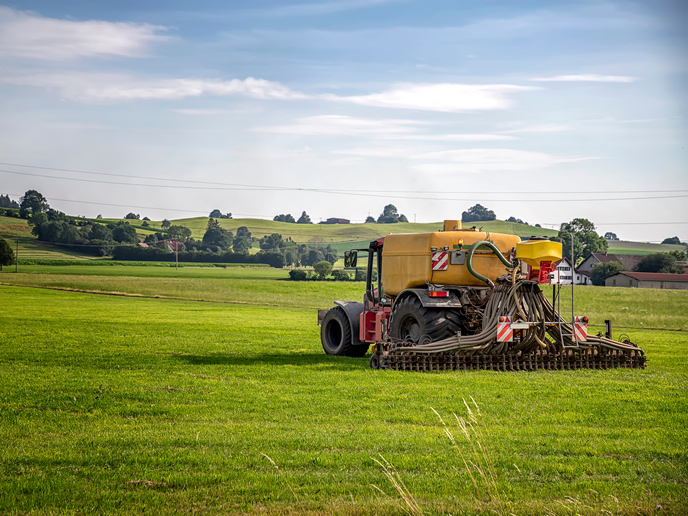
There has been a large uptake of precision agriculture applications in the past two decades. However, the way most farmers collect information about their soils remains mostly the same. Better data on soil properties would greatly benefit precision farming. It would further increase resource efficiency and empower farmers to safeguard and improve soil health while lowering costs. The SQAT(opens in new window) project is combining Earth observation data, soil sensors and robotics in an innovative way. Overall, the aim is to introduce a solution that provides farmers with a cost-effective technique to precisely map soil properties. The smart soil mapping service uses satellite imagery from Copernicus to map possible soil properties zones. To provide a precise picture of what is in the soil, it identifies routes for gathering data on the field using a toolbox comprised of different sensors. The results are calibrated from soil samples to ensure correct values on maps, including automated analyses on the field and a minimal number of samples taken to a soil lab to validate results and ensure high precision. This approach replicates complicated and expensive soil analyses that currently take place in a laboratory away from the field. To further optimise the soil sampling process – mapping larger fields faster than existing methods – the sensors are mounted on an autonomous robot. The solution will be highly flexible so that it can be used in various conditions, and that any field robot, quad or vehicle can be used, assuming they can carry the weight.
Turning data into value on the farm
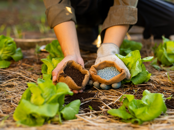
“Famers stand to benefit in several ways, depending on how the data will be used,” explains Igor Milosavljevic, manager of European affairs at the Association of Balkan Eco-Innovation, a non-profit cluster organisation in Serbia that is coordinating the project. If a farm directly uses the soil properties maps, SQAT provides a highly accurate information product at a price that is significantly lower than comparable alternatives currently available. Farmers who could not previously afford such a high-resolution map can now improve their farm operations or their planting patterns to lower input use and/or generate higher revenue. “A second set of benefits comes from how service providers can use this data,” adds Milosavljevic. Lack of robust spatial soil data limits the scope of true precision agriculture. Providing this data unlocks new horizons for applications developed by agri-service providers, which in turn deliver value for farmers. SQAT (Soil Quality Analysis Tool: Implementing Smart Farming Applications using EO Data, Soil Sensors & Robotics) is developing five such services that represent a significant improvement over current options: variable rate liming, variable rate seeding, variable rate macronutrient fertilisation, variable depth tillage, and a carbon farming monitoring, reporting and verification solution. Thanks to these services, farmers will lower expenses for fuel, lime, fertiliser and seeds. They will also increase or at least maintain yield. If you are interested in having your project featured as a ‘Project of the Month’ in an upcoming issue, please send an email to editorial@cordis.europa.eu and tell us why!