

European-wide environmental management by remote sensing
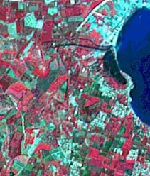
Information about run-off, erosion and pollution is urgently needed in the detection and evaluation of environmental pressures and change across Europe. The ARSGISIP project; Applied Remote Sensing and GIS Integration for Model Paramaterization; has collected data from three major European climatic regions - cold boreal, humid temperate, and Mediterranean. This has formed the basis for individual databases and the establishment of key model parameters related to physiographic catchment properties, classifications of crop patterns, forest canopy, erosion hazard and land degradation, flood plains, eutrophication and sediment input of reservoirs and lakes. The remote sensing information is integrated with existing GIS databases to establish an operational toolset on a catchment scale. The system is cost-effective and is an important advance for sustainable land and water resources management across Europe.