

Monitoring costal conditions online

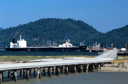
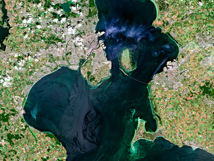
In order to protect the nature of coastal areas and save their economic value, permanent human intervention is necessary. Some examples of this include dyking, beach nourishment or jetty constructions. Thus, innovative tools and methods that show maps of the bathymetry and other related environmental parameters for assessing coastal status and the processes involved have been designed. These measures will also help to secure shipping and lessen the risk of accidents as well as to detect oil pollution, which endangers the use of coastal waters as food supply area. The EU funded project, OROMA has converted scientific based knowledge into thematic information distributed via an electronic network. One of these is an interactive web application known as the Internet Monitoring Service. Its main function is to exhibit data related to environmental conditions of the Baltic Sea. The service, which was developed in JAVA and DHTML includes data and thematic maps that have been gathered and processed. It is available in two language versions, Polish and English and can be located on the Internet at the following address: http://baltyk.imgw.gdynia.pl/oroma/(odnośnik otworzy się w nowym oknie). Further development of the software as in an implementation of the database server for data and maps is sought.